Loading...
Loading map...2023 Map of Republic
USGS Topo · Published 2023About this map
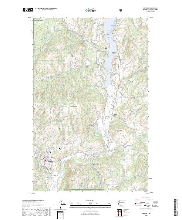
Republic serves as the focal point of this northern Washington landscape, situated along the upper reaches of Granite Creek and the Sanpoil River. As the county seat, it houses the Ferry County Courthouse, while the nearby Republic Cem offers a genealogical touchstone for the region. The map captures the transition from the structured street grid of the town to the surrounding peaks, including the prominent Klondike Mtn and Gibraltar Mtn.
Find a feature on this map
95 named features on this map. Tap any name to fly to it.
Don’t see what you’re looking for? This feature index may not catch every label — zoom into the map to look around manually.
Map Details
Date Portrayed2023
Date Published2023
PublisherU.S. Geological Survey
Map TypeTopographic
Scale1:24000
Physical Dimensions24 x 29 inches
Editions of this 2023 Republic Map
This is the sole edition of this map. No revisions or reprints were ever made.
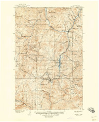
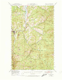
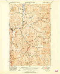
Historical Maps of Pollard Through Time
7 maps found
Featured Locations
Source Details
SourceU.S. Geological Survey
CopyrightPublic Domain