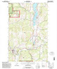
1988 Map of Republic
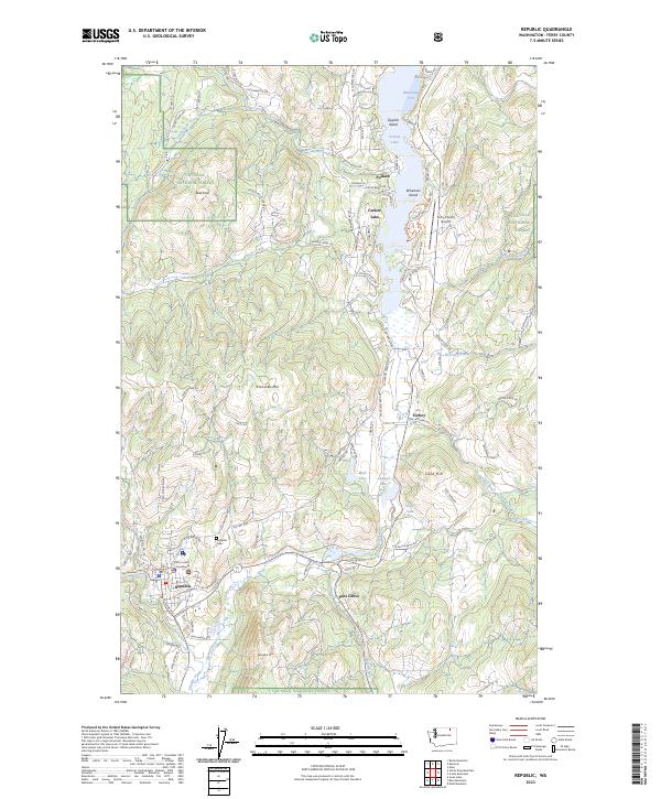
USGS Topo · Published 1988About this map
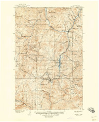
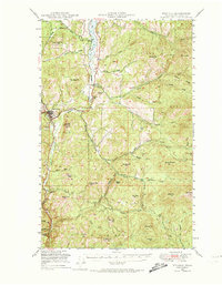
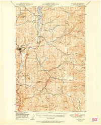
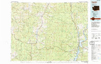
Republic and its neighboring settlements anchor this late-twentieth-century study of the Sanpoil River valley, showing the area as it transitioned from a historical mining hub to a region of recreational value. The landscape is marked by numerous legacy mining sites, including various Mineshafts, Prospect Mineshafts, and Gravel Pits scattered near Gold Hill and Torboy. These industrial markers contrast with the established conservation and leisure areas like Curlew Lake State Park and the Colville National Forest.
Find a feature on this map
40 named features on this map. Tap any name to fly to it.
Don’t see what you’re looking for? This feature index may not catch every label — zoom into the map to look around manually.
Map Details
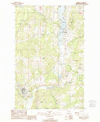
Editions of this 1988 Republic Map
This is the sole edition of this map. No revisions or reprints were ever made.
Historical Maps of Republic Through Time
7 maps found