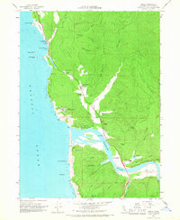
1966 Map of Requa
USGS Topo · Published 1968About this map
The Klamath River meets the Pacific Ocean in this mid-1960s study of the Del Norte coastline. The landscape is defined by its ridge systems, including Teds Ridge and Mynot Ridge, which separate the various creek drainages flowing toward the estuary. Human settlement is concentrated near the river mouth at Requa and Klamath, with the Waukell Flat Rancheria and Resighini located further inland along the southern bank.
Find a feature on this map
57 named features on this map. Tap any name to fly to it.
Don’t see what you’re looking for? This feature index may not catch every label — zoom into the map to look around manually.
Map Details
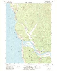
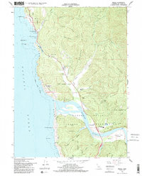
Editions of this 1966 Requa Map
3 editions found
Other maps of this area

1922 · Preston Peak
USGS Topo · 1:125,000

1925 · Hoopa
USGS Topo · 1:125,000

1929 · Crescent City
USGS Topo · 1:125,000

1945 · Ship Mountain
USGS Topo · 1:62,500

1945 · Orick
USGS Topo · 1:62,500

1945 · Requa
USGS Topo · 1:62,500

1945 · Tectah Creek
USGS Topo · 1:62,500

1948 · Weed
USGS Topo · 1:250,000

1949 · Eureka
USGS Topo · 1:250,000

1950 · Weed
USGS Topo · 1:250,000