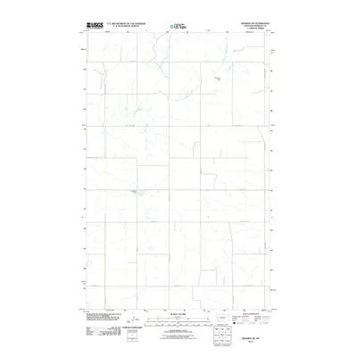
2011 Map of Reserve NE
USGS Topo · Published 2011About this map
Antelope Creek and its South Fork Antelope Creek define the drainage patterns of this Sheridan County landscape, where small-scale water management projects like Lindberg Dam and Sorenson Dam reflect the requirements of plains agriculture. The grid-based transport network is punctuated by roads named for historical figures and local landmarks, including Lew Wallace and S Comertown Rd. Low-lying terrain features such as Lowell Vly, Eden Vly, and Valley Vw suggest the subtle topographical shifts characteristic of this region. This 2011 survey documents a sparsely populated but active agricultural zone, where long stretches of road like Coalridge Hwy and Twin Bridges Rd connect disparate homesteads and farmsteads across the Montana prairie.
Find a feature on this map
20 named features on this map. Tap any name to fly to it.
Don’t see what you’re looking for? This feature index may not catch every label — zoom into the map to look around manually.
Map Details
Editions of this 2011 Reserve NE Map
This is the sole edition of this map. No revisions or reprints were ever made.
Other maps of this area

1946 · Dagmar
USGS Topo · 1:24,000

1948 · Dagmar
USGS Topo · 1:24,000

1948 · Reserve SE
USGS Topo · 1:24,000

1948 · Reserve
USGS Topo · 1:24,000

1948 · Antelope
USGS Topo · 1:24,000

1949 · Reserve SE
USGS Topo · 1:24,000

1949 · Reserve
USGS Topo · 1:24,000

1949 · Antelope
USGS Topo · 1:24,000

1954 · Wolf Point
USGS Topo · 1:250,000

1958 · Wolf Point
USGS Topo · 1:250,000