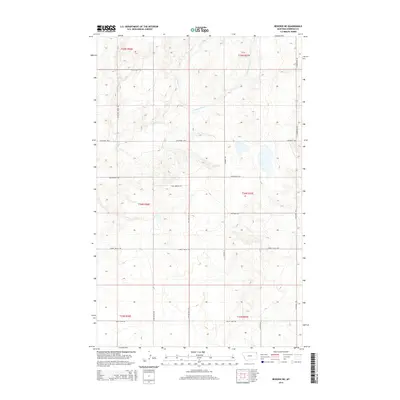
2014 Map of Reserve NE
USGS Topo · Published 2014About this map
Antelope Cr and its S Fork Antelope Cr branch define the drainage patterns of this Sheridan County landscape, where the High Plains terrain is etched by a geometric grid of rural transit. The mapping captures a network of family-named and descriptive local roads, such as Ator Creek Rd and Lowell Valley Rd, which crisscross the section lines of the Public Land Survey System. These routes, including Coalridge Hwy and Twin Bridges Rd, reflect the logistical framework of a remote agricultural and ranching district. The concentration of thoroughfares like Eden Valley Rd and Valley View Rd in the southern reaches suggests a landscape structured for connectivity between disparate prairie homesteads and the regional trade corridors of northeast Montana.
Find a feature on this map
20 named features on this map. Tap any name to fly to it.
Don’t see what you’re looking for? This feature index may not catch every label — zoom into the map to look around manually.
Map Details
Editions of this 2014 Reserve NE Map
This is the sole edition of this map. No revisions or reprints were ever made.
Other maps of this area

1946 · Dagmar
USGS Topo · 1:24,000

1948 · Dagmar
USGS Topo · 1:24,000

1948 · Reserve SE
USGS Topo · 1:24,000

1948 · Reserve
USGS Topo · 1:24,000

1948 · Antelope
USGS Topo · 1:24,000

1949 · Reserve SE
USGS Topo · 1:24,000

1949 · Reserve
USGS Topo · 1:24,000

1949 · Antelope
USGS Topo · 1:24,000

1954 · Wolf Point
USGS Topo · 1:250,000

1958 · Wolf Point
USGS Topo · 1:250,000