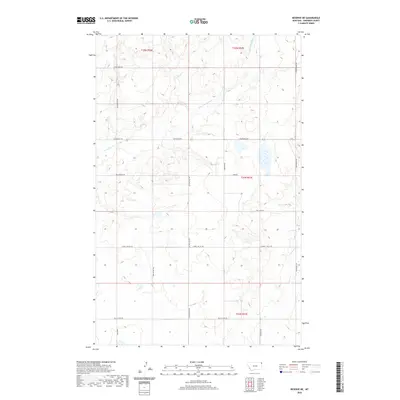
2020 Map of Reserve NE
USGS Topo · Published 2020About this map
Antelope Cr and its tributary, the S Fork Antelope Cr, carve a complex drainage pattern through this section of Sheridan County. The landscape is defined by a grid of rural thoroughfares that reflect the late-era township and range organization, including Lowell Valley Rd and Eden Valley Rd. Many of these routes, such as Ator Creek Rd and Maxam Rd, likely preserve the names of early homesteading families who settled this northern Montana prairie. The primary east-west artery, Coalridge Hwy, connects the scattered farmsteads and agricultural holdings that characterize this high plains environment. While few structures are named, the presence of numerous small water bodies and seasonal wetlands suggests a land closely tied to the cycles of the Great Plains climate.
Find a feature on this map
20 named features on this map. Tap any name to fly to it.
Don’t see what you’re looking for? This feature index may not catch every label — zoom into the map to look around manually.
Map Details
Editions of this 2020 Reserve NE Map
This is the sole edition of this map. No revisions or reprints were ever made.
Other maps of this area

1946 · Dagmar
USGS Topo · 1:24,000

1948 · Dagmar
USGS Topo · 1:24,000

1948 · Reserve SE
USGS Topo · 1:24,000

1948 · Reserve
USGS Topo · 1:24,000

1948 · Antelope
USGS Topo · 1:24,000

1949 · Reserve SE
USGS Topo · 1:24,000

1949 · Reserve
USGS Topo · 1:24,000

1949 · Antelope
USGS Topo · 1:24,000

1954 · Wolf Point
USGS Topo · 1:250,000

1958 · Wolf Point
USGS Topo · 1:250,000