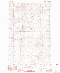
1983 Map of Reserve NE
USGS Topo · Published 1983About this map
Antelope Creek meanders through this portion of Sheridan County, defining the drainage patterns of the prairie landscape. This 1983 provisional survey, based on field work from the late 1970s, captures the section-line roads and remote homestead patterns characteristic of northeastern Montana. The terrain is marked by the intermittent flow of the South Fork and scattered upland depressions. A solitary Cem stands as a focal point for genealogical research, representing the small, localized burial sites that served early ranching families in this corner of the state. The map's detail on elevation and watercourses illustrates the reliance on seasonal creek beds in an arid ranching environment before modern development altered the land use.
Find a feature on this map
3 named features on this map. Tap any name to fly to it.
Don’t see what you’re looking for? This feature index may not catch every label — zoom into the map to look around manually.
Map Details
Editions of this 1983 Reserve NE Map
This is the sole edition of this map. No revisions or reprints were ever made.
Other maps of this area

1946 · Dagmar
USGS Topo · 1:24,000

1948 · Dagmar
USGS Topo · 1:24,000

1948 · Reserve SE
USGS Topo · 1:24,000

1948 · Reserve
USGS Topo · 1:24,000

1948 · Antelope
USGS Topo · 1:24,000

1949 · Reserve SE
USGS Topo · 1:24,000

1949 · Reserve
USGS Topo · 1:24,000

1949 · Antelope
USGS Topo · 1:24,000

1954 · Wolf Point
USGS Topo · 1:250,000

1958 · Wolf Point
USGS Topo · 1:250,000