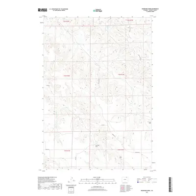
2017 Map of Reservoir Creek
USGS Topo · Published 2017About this map
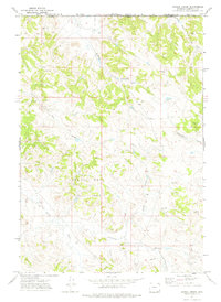
Tibbs Reservoir and the winding drainages of the Powder River Basin define this landscape in north-central Campbell County. This 2017 survey details a network of named draws and seasonal creeks, including New Deal Draw, Lynde Draw, and Stone Draw, which cut through the high plains terrain. The mapping reflects the intersection of cattle ranching and modern industry, with rural routes like Werner Rd and Broyles Rd providing access to the interior. Evidence of the region's energy infrastructure is visible through the presence of Apache Gas Plant Rd in the northeast. Water features such as Reservoir Cr and the L X Bar Cr remain central to the geography, serving as critical landmarks in an area dominated by large-scale land divisions and intermittent water sources.
Find a feature on this map
18 named features on this map. Tap any name to fly to it.
Don’t see what you’re looking for? This feature index may not catch every label — zoom into the map to look around manually.
Map Details
Editions of this 2017 Reservoir Creek Map
This is the sole edition of this map. No revisions or reprints were ever made.
Other maps of this area

1954 · Gillette
USGS Topo · 1:250,000

1955 · Gillette
USGS Topo · 1:250,000

1958 · Gillette
USGS Topo · 1:250,000

1962 · Gillette
USGS Topo · 1:250,000

1971 · Larey Draw
USGS Topo · 1:24,000
1971 · Reservoir Creek
USGS Topo · 1:24,000
1971 · Kline Draw
USGS Topo · 1:24,000
1971 · Homestead Draw SW
USGS Topo · 1:24,000
1971 · Corral Creek
USGS Topo · 1:24,000

1971 · Recluse
USGS Topo · 1:24,000