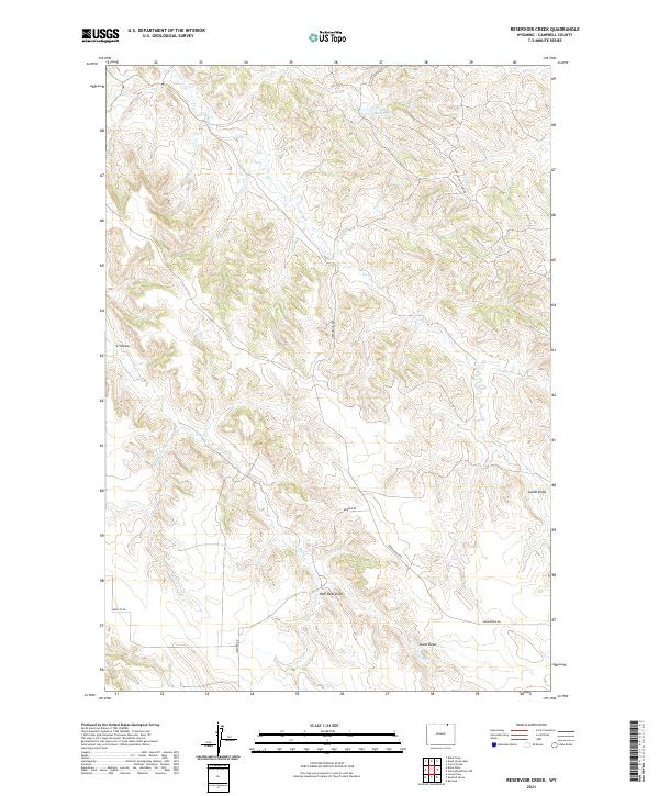
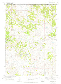
2021 Map of Reservoir Creek
USGS Topo · Published 2021About this map
Tibbs Reservoir sits in the northern reaches of this Wyoming landscape, serving as a primary water source in a region defined by an intricate network of drainage draws and seasonal creeks. The terrain is marked by named features like L S Draw and Lynde Draw, which illustrate the local ranching and topographic history of Campbell County. To the south, New Deal Draw and Stone Draw highlight the descriptive naming conventions typical of the High Plains. Transport and infrastructure are represented by thoroughfares such as Greenough Rd and the Apache Gas Plant Rd, indicating the area's dual character of agricultural use and industrial energy development. Tracing the courses of Reservoir Cr and L X Bar Cr reveals the natural corridors that have influenced land boundaries and road placement, such as Broyles Rd and Werner Rd, across several townships.
Find a feature on this map
19 named features on this map. Tap any name to fly to it.
Don’t see what you’re looking for? This feature index may not catch every label — zoom into the map to look around manually.
Map Details
Editions of this 2021 Reservoir Creek Map
This is the sole edition of this map. No revisions or reprints were ever made.
Other maps of this area

1954 · Gillette
USGS Topo · 1:250,000

1955 · Gillette
USGS Topo · 1:250,000

1958 · Gillette
USGS Topo · 1:250,000

1962 · Gillette
USGS Topo · 1:250,000

1971 · Larey Draw
USGS Topo · 1:24,000
1971 · Reservoir Creek
USGS Topo · 1:24,000
1971 · Kline Draw
USGS Topo · 1:24,000
1971 · Homestead Draw SW
USGS Topo · 1:24,000
1971 · Corral Creek
USGS Topo · 1:24,000

1971 · Recluse
USGS Topo · 1:24,000