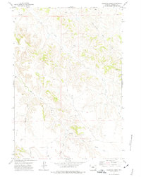
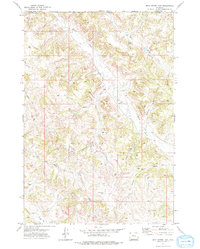
1971 Map of Reservoir Creek
USGS Topo · Published 1974About this map
The Recluse Oil Field dominates the northeastern section of this northern Campbell County landscape, reflecting the energy development defining the region in the early 1970s. The terrain is deeply etched by a complex drainage network, where Reservoir Creek and SA Creek flow through winding valleys punctuated by numerous oil wells and drill holes. These industrial markers are interspersed with geographic features carrying local ranching-era names, such as LX Bar Creek and the associated LX Bar Draw.
Find a feature on this map
14 named features on this map. Tap any name to fly to it.
Don’t see what you’re looking for? This feature index may not catch every label — zoom into the map to look around manually.
Map Details
Editions of this 1971 Reservoir Creek Map
This is the sole edition of this map. No revisions or reprints were ever made.
Other maps of this area

1954 · Gillette
USGS Topo · 1:250,000

1955 · Gillette
USGS Topo · 1:250,000

1958 · Gillette
USGS Topo · 1:250,000

1962 · Gillette
USGS Topo · 1:250,000

1971 · Larey Draw
USGS Topo · 1:24,000
1971 · Kline Draw
USGS Topo · 1:24,000
1971 · Homestead Draw SW
USGS Topo · 1:24,000
1971 · Corral Creek
USGS Topo · 1:24,000

1971 · Recluse
USGS Topo · 1:24,000
1971 · Dead Horse Lake
USGS Topo · 1:24,000