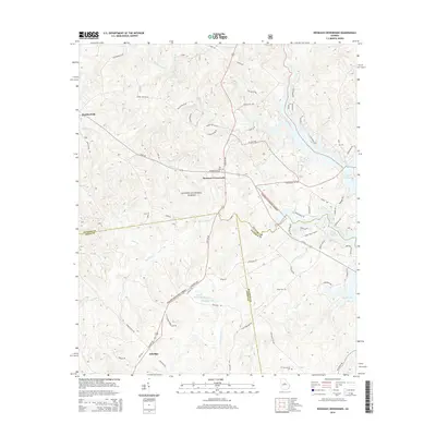
2014 Map of Resseaus Crossroads
USGS Topo · Published 2014About this map
Oconee National Forest encompasses a significant portion of this landscape at the junction of Jones, Putnam, and Baldwin counties. The settlement pattern is defined by rural junctions such as Resseaus Crossroads and Ethridge, where local history is anchored by family-named landmarks like Key Cem and Stiles Cem. The terrain is deeply incised by a dense network of watercourses, including the southward-flowing Murder Creek and Little Cedar Cr, which feed into the western reaches of Lake Sinclair.
Find a feature on this map
70 named features on this map. Tap any name to fly to it.
Don’t see what you’re looking for? This feature index may not catch every label — zoom into the map to look around manually.
Map Details
Editions of this 2014 Resseaus Crossroads Map
This is the sole edition of this map. No revisions or reprints were ever made.
Other maps of this area

1953 · Athens
USGS Topo · 1:250,000

1958 · Athens
USGS Topo · 1:250,000

1959 · Athens
USGS Topo · 1:250,000

1963 · Athens
USGS Topo · 1:250,000

1964 · Gray
USGS Topo · 1:24,000

1964 · Stanfordville
USGS Topo · 1:24,000

1972 · Meda
USGS Topo · 1:24,000

1972 · Eatonton
USGS Topo · 1:24,000
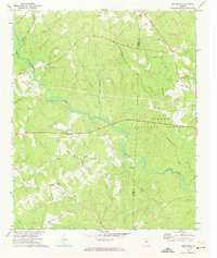
1972 · Smithboro
USGS Topo · 1:24,000
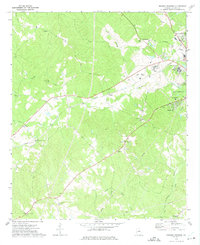
1972 · Browns Crossing
USGS Topo · 1:24,000