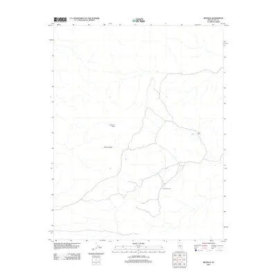
2012 Map of Reveille
USGS Topo · Published 2012About this map
Reveille marks the site of a past settlement in the high desert of Nye County, where the dry landscape is punctuated by a network of seasonal washes and 4WD tracks. Located on the eastern flank of the Reveille Range, this area is defined by its isolation and limited water sources like Hyde Spring. To the northeast, the Oasis Ranch represents the sparse human footprint in a territory dominated by significant topographical landmarks like Streuben Knob. The presence of a historical site designation suggests a location once tied to the region's mining or ranching history, now largely returned to the elements. This 2012 survey provides a clear view of the modern road network and geographic features that remain long after the original townsite of Reveille faded.
Find a feature on this map
5 named features on this map. Tap any name to fly to it.
Don’t see what you’re looking for? This feature index may not catch every label — zoom into the map to look around manually.
Map Details
Editions of this 2012 Reveille Map
This is the sole edition of this map. No revisions or reprints were ever made.
Other maps of this area

1908 · Kawich
USGS Topo · 1:250,000

1942 · Reveille Peak
USGS Topo · 1:125,000

1952 · Kawich Peak
USGS Topo · 1:62,500

1952 · Reveille Peak
USGS Topo · 1:62,500

1954 · Goldfield
USGS Topo · 1:250,000

1955 · Goldfield
USGS Topo · 1:250,000

1956 · Tonopah
USGS Topo · 1:250,000

1958 · Goldfield
USGS Topo · 1:250,000

1959 · Tonopah
USGS Topo · 1:250,000

1962 · Goldfield
USGS Topo · 1:250,000