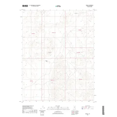
2018 Map of Reveille
USGS Topo · Published 2018About this map
The Reveille Range dominates this portion of Nye County, where high desert elevations and isolated landmarks define the landscape. Notable peaks such as Streuben Knob and the curiously named Goblin Knobs rise above the surrounding terrain, providing crucial orientation points in an otherwise arid expanse. A singular water source, Hyde Spring, appears on the eastern flank of the range, highlighting the scarcity of moisture that dictated human activity and survival in this region. This modern topographic study shows how the land is partitioned through the Public Land Survey System, including sections within t3n r51.5e and t2n r52e, reflecting the orderly administrative grid superimposed over the natural geological formations of the Great Basin.
Find a feature on this map
11 named features on this map. Tap any name to fly to it.
Don’t see what you’re looking for? This feature index may not catch every label — zoom into the map to look around manually.
Map Details
Editions of this 2018 Reveille Map
This is the sole edition of this map. No revisions or reprints were ever made.
Other maps of this area

1908 · Kawich
USGS Topo · 1:250,000

1942 · Reveille Peak
USGS Topo · 1:125,000

1952 · Kawich Peak
USGS Topo · 1:62,500

1952 · Reveille Peak
USGS Topo · 1:62,500

1954 · Goldfield
USGS Topo · 1:250,000

1955 · Goldfield
USGS Topo · 1:250,000

1956 · Tonopah
USGS Topo · 1:250,000

1958 · Goldfield
USGS Topo · 1:250,000

1959 · Tonopah
USGS Topo · 1:250,000

1962 · Goldfield
USGS Topo · 1:250,000