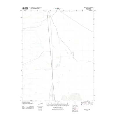
2012 Map of Reveille SE
USGS Topo · Published 2012About this map
Nye County’s high desert landscape is dominated by the north-south transit of Nevada State Route 375, famously known as the Extraterrestrial Highway. This corridor cuts through a largely unpopulated basin where water management is critical to the local environment, evidenced by the presence of Eastside Reservoir. The terrain reveals the stark isolation of this region in the early 21st century, showing how infrastructure like the state highway provides the primary link across these expansive desert flats. While the area is sparsely settled, the map captures the essential hydrographic and transportation markers that define land use in this part of the Great Basin.
Find a feature on this map
2 named features on this map. Tap any name to fly to it.
Don’t see what you’re looking for? This feature index may not catch every label — zoom into the map to look around manually.
Map Details
Editions of this 2012 Reveille SE Map
This is the sole edition of this map. No revisions or reprints were ever made.
Other maps of this area

1908 · Kawich
USGS Topo · 1:250,000

1942 · Reveille Peak
USGS Topo · 1:125,000

1942 · Penoyer Valley
USGS Topo · 1:125,000

1952 · Reveille Peak
USGS Topo · 1:62,500

1954 · Caliente
USGS Topo · 1:250,000

1954 · Goldfield
USGS Topo · 1:250,000

1955 · Goldfield
USGS Topo · 1:250,000

1956 · Lund
USGS Topo · 1:250,000

1956 · Tonopah
USGS Topo · 1:250,000

1958 · Goldfield
USGS Topo · 1:250,000