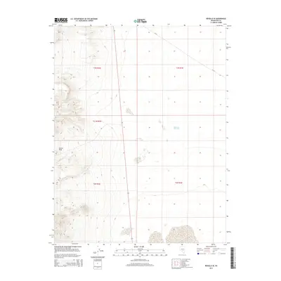
2014 Map of Reveille SE
USGS Topo · Published 2014About this map
The Reveille Range dominates the western topography of this Nye County landscape, where steep slopes descend into the high desert basin. This 2014 survey by the U.S. Geological Survey illustrates the intersection of public land management and arid-land hydrology. The presence of the Eastside Reservoir in the eastern flats provides a critical water source in a region defined by its sparse resources and vast, open ranges. Navigation through this territory is facilitated by state route 375, known locally as the Extraterrestrial Highway, which cuts a nearly straight line across the valley floor. Secondary access is provided by unpaved tracks like Nf-415, reflecting the area's use for ranching and recreation within the expansive Public Land Survey System grids of t3n r52e and t2n r53e.
Find a feature on this map
9 named features on this map. Tap any name to fly to it.
Don’t see what you’re looking for? This feature index may not catch every label — zoom into the map to look around manually.
Map Details
Editions of this 2014 Reveille SE Map
This is the sole edition of this map. No revisions or reprints were ever made.
Other maps of this area

1908 · Kawich
USGS Topo · 1:250,000

1942 · Reveille Peak
USGS Topo · 1:125,000

1942 · Penoyer Valley
USGS Topo · 1:125,000

1952 · Reveille Peak
USGS Topo · 1:62,500

1954 · Caliente
USGS Topo · 1:250,000

1954 · Goldfield
USGS Topo · 1:250,000

1955 · Goldfield
USGS Topo · 1:250,000

1956 · Lund
USGS Topo · 1:250,000

1956 · Tonopah
USGS Topo · 1:250,000

1958 · Goldfield
USGS Topo · 1:250,000