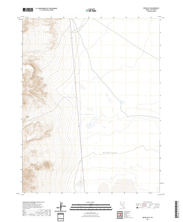
2021 Map of Reveille SE
USGS Topo · Published 2021About this map
The Reveille Range dominates the western edge of this landscape, its steep contours giving way to the expansive flatlands of Railroad Valley to the east. This transition marks a classic Great Basin geological profile where mountain topography meets the arid basin floor. A single primary transportation corridor, State Route 375, traverses the valley north-to-south, providing the only major access through this portion of Nye County. The map reveals a high-desert environment where water is a critical and rare resource, evidenced by the presence of the isolated Eastside Reservoir. The grid lines of the Public Land Survey System divide the terrain into townships such as t3n r52e and t2n r53e, illustrating the systematic organization of this expansive federal land area.
Find a feature on this map
9 named features on this map. Tap any name to fly to it.
Don’t see what you’re looking for? This feature index may not catch every label — zoom into the map to look around manually.
Map Details
Editions of this 2021 Reveille SE Map
This is the sole edition of this map. No revisions or reprints were ever made.
Other maps of this area

1908 · Kawich
USGS Topo · 1:250,000

1942 · Reveille Peak
USGS Topo · 1:125,000

1942 · Penoyer Valley
USGS Topo · 1:125,000

1952 · Reveille Peak
USGS Topo · 1:62,500

1954 · Caliente
USGS Topo · 1:250,000

1954 · Goldfield
USGS Topo · 1:250,000

1955 · Goldfield
USGS Topo · 1:250,000

1956 · Lund
USGS Topo · 1:250,000

1956 · Tonopah
USGS Topo · 1:250,000

1958 · Goldfield
USGS Topo · 1:250,000