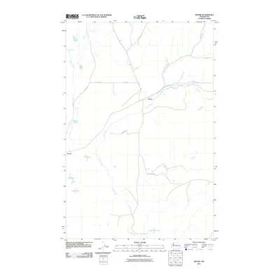
2011 Map of Revere
USGS Topo · Published 2011About this map
Rock Creek defines the drainage of this Whitman County landscape, flowing past the settlement of Revere. The map captures a high-desert environment characterized by scattered springs and ephemeral lakes, where water management is central to the local geography. Significant water features like Lake Thirty Two and the clustered Twin Lakes suggest a terrain where seasonal hydrology dictates land use.
Find a feature on this map
22 named features on this map. Tap any name to fly to it.
Don’t see what you’re looking for? This feature index may not catch every label — zoom into the map to look around manually.
Map Details
Editions of this 2011 Revere Map
This is the sole edition of this map. No revisions or reprints were ever made.
Other maps of this area

1950 · La Crosse
USGS Topo · 1:62,500

1950 · Benge
USGS Topo · 1:62,500

1952 · La Crosse
USGS Topo · 1:62,500

1952 · Benge
USGS Topo · 1:62,500

1953 · Walla Walla
USGS Topo · 1:250,000

1953 · Ritzville
USGS Topo · 1:250,000

1955 · Pullman
USGS Topo · 1:250,000

1955 · Spokane
USGS Topo · 1:250,000

1958 · Spokane
USGS Topo · 1:250,000

1958 · Pullman
USGS Topo · 1:250,000