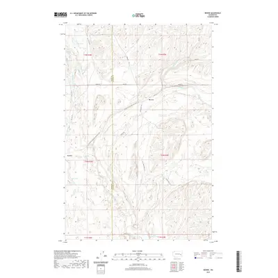
2020 Map of Revere
USGS Topo · Published 2020About this map
Rock Creek winds through the basalt-coulee landscape along the border of Adams and Whitman counties, carving a path through the channeled scablands. The small settlements of Revere and Paxton sit along the former rail corridor, which has since been transformed into the Palouse To Cascades State Park Trail. This transition from active rail to recreational trail reflects the shifting economic use of the region's unique geography.
Find a feature on this map
32 named features on this map. Tap any name to fly to it.
Don’t see what you’re looking for? This feature index may not catch every label — zoom into the map to look around manually.
Map Details
Editions of this 2020 Revere Map
This is the sole edition of this map. No revisions or reprints were ever made.
Other maps of this area

1950 · La Crosse
USGS Topo · 1:62,500

1950 · Benge
USGS Topo · 1:62,500

1952 · La Crosse
USGS Topo · 1:62,500

1952 · Benge
USGS Topo · 1:62,500

1953 · Walla Walla
USGS Topo · 1:250,000

1953 · Ritzville
USGS Topo · 1:250,000

1955 · Pullman
USGS Topo · 1:250,000

1955 · Spokane
USGS Topo · 1:250,000

1958 · Spokane
USGS Topo · 1:250,000

1958 · Pullman
USGS Topo · 1:250,000