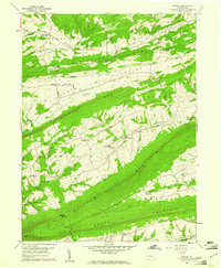
1959 Map of Reward
USGS Topo · Published 1961About this map
The ridge-and-valley landscape of central Pennsylvania is deeply defined by the parallel elevations of Buffalo Mountain and Berry Mountain, which channel the region's agricultural life into narrow, fertile corridors. Small cross-road settlements like Nekoda, Seven Stars, and Centerville dot the lowland plains, serving the rural families of Pfoutz Valley and Greenwood Valley. A high concentration of community centers including St Michaels Ch, St Matthews Ch, and Wrights Ch reflect the established social fabric of the late 1950s, while the Reward Cem and Mitchell Cem provide essential data points for local genealogy. Near the southern edge of the sheet, Mitchell Gap provides a rare natural passage through the towering buffalo ridge, while the town of Liverpool sits as the eastern anchor of this rugged terrain.
Find a feature on this map
42 named features on this map. Tap any name to fly to it.
Don’t see what you’re looking for? This feature index may not catch every label — zoom into the map to look around manually.
Map Details
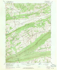
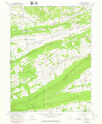
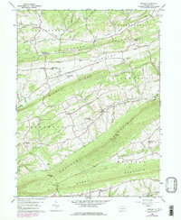
Editions of this 1959 Reward Map
4 editions found
Other maps of this area

1892 · Harrisburg
USGS Topo · 1:62,500

1893 · Millersburg
USGS Topo · 1:62,500

1899 · Harrisburg
USGS Topo · 1:62,500

1907 · New Bloomfield
USGS Topo · 1:62,500

1907 · Millerstown
USGS Topo · 1:62,500

1924 · Harrisburg
USGS Topo · 1:62,500

1943 · Millerstown
USGS Topo · 1:62,500

1943 · Millersburg
USGS Topo · 1:62,500

1943 · Harrisburg
USGS Topo · 1:62,500

1943 · New Bloomfield
USGS Topo · 1:62,500
Featured Places
- Greenwood Township, PA
- Greenwood Township, PA
- Buffalo Township, PA
- Howe Township, PA
- Centerville, Liverpool Township