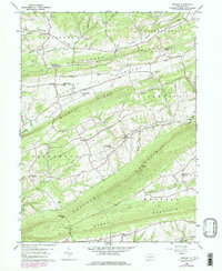
1959 Map of Reward
USGS Topo · Published 1979About this map
Turkey Ridge and Wildcat Ridge dominate this portion of the Pennsylvania landscape, defining a series of parallel valleys where rural life centered on small settlements and country churches during the mid-20th century. The map reveals a high density of religious and commemorative sites, including Salem Ch, St Matthews Ch, and the Reward Cem, suggesting a well-established network of local congregations. The terrain is characterized by the long, linear forms of Buffalo Mountain and Berry Mountain, which hem in the drainage of Spruce Run and Bargers Run.
Find a feature on this map
43 named features on this map. Tap any name to fly to it.
Don’t see what you’re looking for? This feature index may not catch every label — zoom into the map to look around manually.
Map Details
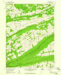
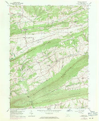
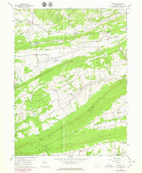
Editions of this 1959 Reward Map
4 editions found
Other maps of this area

1892 · Harrisburg
USGS Topo · 1:62,500

1893 · Millersburg
USGS Topo · 1:62,500

1899 · Harrisburg
USGS Topo · 1:62,500

1907 · New Bloomfield
USGS Topo · 1:62,500

1907 · Millerstown
USGS Topo · 1:62,500

1924 · Harrisburg
USGS Topo · 1:62,500

1943 · Millerstown
USGS Topo · 1:62,500

1943 · Millersburg
USGS Topo · 1:62,500

1943 · Harrisburg
USGS Topo · 1:62,500

1943 · New Bloomfield
USGS Topo · 1:62,500
Featured Places
- Greenwood Township, PA
- Greenwood Township, PA
- Buffalo Township, PA
- Howe Township, PA
- Centerville, Liverpool Township