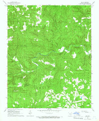
1965 Map of Rex
USGS Topo · Published 1966About this map
The South Fork Little Red River carves a deep path through the highlands of Van Buren County, anchoring a landscape defined by sharp ridges and narrow hollows. In the mid-1960s, the small settlement of Rex and the Ozark National Forest dominated the western portion of this quadrangle. Human presence is concentrated around high-ground landmarks and quiet valley floors, including the Low Gap Ch and its adjacent Low Gap Cem.
Find a feature on this map
25 named features on this map. Tap any name to fly to it.
Don’t see what you’re looking for? This feature index may not catch every label — zoom into the map to look around manually.
Map Details
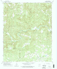
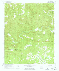
Editions of this 1965 Rex Map
3 editions found
Other maps of this area

1879 · Washington
USGS Topo · 1:62,500

1887 · Smyrna
USGS Topo · 1:62,500

1889 · Marshall #3
USGS Topo · 1:62,500

1892 · Marshall
USGS Topo · 1:125,000

1892 · Morrillton
USGS Topo · 1:125,000

1894 · Morrillton
USGS Topo · 1:125,000

1894 · Marshall
USGS Topo · 1:125,000

1901 · Marshall
USGS Topo · 1:125,000

1940 · Smyrna
USGS Topo · 1:62,500
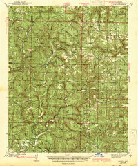
1943 · Smyrna
USGS Topo · 1:62,500