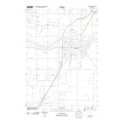
2010 Map of Rexburg
USGS Topo · Published 2010About this map
Rexburg serves as the primary hub of this eastern Idaho landscape, situated along the S Yellowstone Hwy corridor. The geography is defined by the complex water management systems of the Upper Snake River Plain, where the meandering South Teton River is supplemented by an extensive network of irrigation works including the Island Ward Canal, Consolidated Farmers Canal, and the Rexburg Canal. These waterways underscore the region's agricultural foundations, connecting the larger centers to outlying communities like Sugar City, Thornton, and Hibbard.
Find a feature on this map
58 named features on this map. Tap any name to fly to it.
Don’t see what you’re looking for? This feature index may not catch every label — zoom into the map to look around manually.
Map Details
Editions of this 2010 Rexburg Map
This is the sole edition of this map. No revisions or reprints were ever made.
Other maps of this area

1948 · Rigby
USGS Topo · 1:24,000

1948 · Parker
USGS Topo · 1:24,000

1949 · Rexburg
USGS Topo · 1:24,000

1949 · Rigby
USGS Topo · 1:24,000

1950 · Ririe
USGS Topo · 1:24,000

1950 · Parker
USGS Topo · 1:24,000

1950 · Rexburg
USGS Topo · 1:24,000

1950 · St Anthony
USGS Topo · 1:24,000

1950 · Rigby
USGS Topo · 1:62,500

1951 · Moody
USGS Topo · 1:24,000