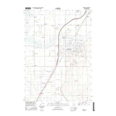
2017 Map of Rexburg
USGS Topo · Published 2017About this map
Rexburg serves as the bustling heart of this Snake River Valley landscape, dominated by the campus of Brigham Young University-Idaho and the surrounding irrigation network. The town's layout is defined by its proximity to the South Teton River and a sophisticated system of water management including the Rexburg Canal and City Of Rexburg Ditch. This reliance on water is visible throughout the quadrangle, where the Texas Slough and Island Ward Canal facilitate agriculture across the flatlands toward Burton and Thornton.
Find a feature on this map
156 named features on this map. Tap any name to fly to it.
Don’t see what you’re looking for? This feature index may not catch every label — zoom into the map to look around manually.
Map Details
Editions of this 2017 Rexburg Map
This is the sole edition of this map. No revisions or reprints were ever made.
Other maps of this area

1948 · Rigby
USGS Topo · 1:24,000

1948 · Parker
USGS Topo · 1:24,000

1949 · Rexburg
USGS Topo · 1:24,000

1949 · Rigby
USGS Topo · 1:24,000

1950 · Ririe
USGS Topo · 1:24,000

1950 · Parker
USGS Topo · 1:24,000

1950 · Rexburg
USGS Topo · 1:24,000

1950 · St Anthony
USGS Topo · 1:24,000

1950 · Rigby
USGS Topo · 1:62,500

1951 · Moody
USGS Topo · 1:24,000