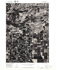
1976 Map of Rexburg
USGS Topo · Published 1979About this map
Rexburg serves as the focal point of this orthophotomap, showing the city's grid and surrounding agricultural landscape as they appeared in the late 1970s. This specific aerial perspective, produced in cooperation with the Soil Conservation Service, captures the region's intensive land use and the serpentine paths of the Henrys Fork and Teton River. The imagery reveals the intricate network of irrigation and field patterns that define the Upper Snake River Valley's economy. To the southwest, the smaller settlement of Thornton sits at a critical junction in the transportation corridor. This orthophoto provides a unique visual record of the area's development before the rapid expansion of later decades, offering a direct view of the physical layout of farmsteads and town borders during this era.
Find a feature on this map
4 named features on this map. Tap any name to fly to it.
Don’t see what you’re looking for? This feature index may not catch every label — zoom into the map to look around manually.
Map Details
Editions of this 1976 Rexburg Map
This is the sole edition of this map. No revisions or reprints were ever made.
Other maps of this area

1948 · Rigby
USGS Topo · 1:24,000

1948 · Parker
USGS Topo · 1:24,000

1949 · Rexburg
USGS Topo · 1:24,000

1949 · Rigby
USGS Topo · 1:24,000

1950 · Ririe
USGS Topo · 1:24,000

1950 · Parker
USGS Topo · 1:24,000

1950 · Rexburg
USGS Topo · 1:24,000

1950 · St Anthony
USGS Topo · 1:24,000

1950 · Rigby
USGS Topo · 1:62,500

1951 · Moody
USGS Topo · 1:24,000