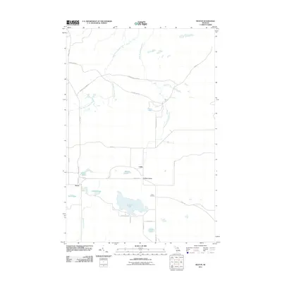
2011 Map of Rexton
USGS Topo · Published 2011About this map
Rexton and the nearby settlements of Caffey and Caffey Corner anchor this portion of the Upper Peninsula, situated within a landscape defined by industrial history and cedar swamps. The presence of Dinkey Line Rd and Fiborn Quarry Rd points to the area's legacy of limestone extraction and specialized rail transport, particularly around Fiborn Pond. The drainage of the West Branch Hendrie River and South Branch Hendrie River creates a complex network of waterways, interspersed with numerous named basins such as Strouble Lake, Reagan Lake, and Ryerse Lake. Local history is preserved at the Caffey Cemetery, while the modern transportation corridor of the Hiawatha Trl cuts through the center of the survey area, connecting these small communities.
Find a feature on this map
31 named features on this map. Tap any name to fly to it.
Don’t see what you’re looking for? This feature index may not catch every label — zoom into the map to look around manually.
Map Details
Editions of this 2011 Rexton Map
This is the sole edition of this map. No revisions or reprints were ever made.
Other maps of this area

1931 · Epoufette SE
USGS Topo · 1:31,680

1931 · Epoufette NE
USGS Topo · 1:31,680

1931 · Epoufette NW
USGS Topo · 1:31,680

1931 · Epoufette SW
USGS Topo · 1:31,680

1931 · Gilchrist NE
USGS Topo · 1:31,680

1951 · Hulbert
USGS Topo · 1:24,000

1951 · Eckerman
USGS Topo · 1:24,000

1951 · Eckerman
USGS Topo · 1:62,500

1954 · Sault Sainte Marie
USGS Topo · 1:250,000

1956 · Sault Sainte Marie
USGS Topo · 1:250,000