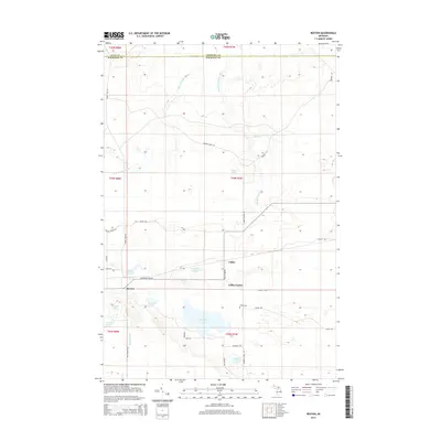
2014 Map of Rexton
USGS Topo · Published 2014About this map
Rexton and the adjacent settlement of Caffey form the primary activity centers in this corner of Mackinac County. The landscape is defined by the complex drainage of the Upper Peninsula, where the West Br Hendricks River and South Br Hendricks River converge amidst a network of small glacial lakes and marshy lowlands. Historic industrial and timber legacy is etched into the road names, with Fibron Quarry Rd and Dinkey Line Rd hinting at the former rail and limestone extraction operations that once supported the local economy. For genealogists and local historians, the Caffey Cem near Caffey Corner serves as a vital point of interest. Recreational geography is also prominent, with larger bodies of water like Strouble Lake and Rexton Lake situated near the primary corridor of Hiawatha Trail Rd.
Find a feature on this map
42 named features on this map. Tap any name to fly to it.
Don’t see what you’re looking for? This feature index may not catch every label — zoom into the map to look around manually.
Map Details
Editions of this 2014 Rexton Map
This is the sole edition of this map. No revisions or reprints were ever made.
Other maps of this area

1931 · Epoufette SE
USGS Topo · 1:31,680

1931 · Epoufette NE
USGS Topo · 1:31,680

1931 · Epoufette NW
USGS Topo · 1:31,680

1931 · Epoufette SW
USGS Topo · 1:31,680

1931 · Gilchrist NE
USGS Topo · 1:31,680

1951 · Hulbert
USGS Topo · 1:24,000

1951 · Eckerman
USGS Topo · 1:24,000

1951 · Eckerman
USGS Topo · 1:62,500

1954 · Sault Sainte Marie
USGS Topo · 1:250,000

1956 · Sault Sainte Marie
USGS Topo · 1:250,000