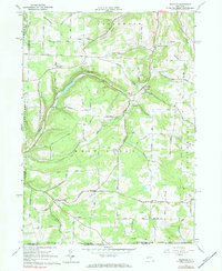
1965 Map of Rexville
USGS Topo · Published 1984About this map
Bennetts Creek and its various branches, including Marsh Creek and Irish Creek, carve a high-plateau landscape in southern New York where agriculture and the extraction industry intersect. The 1960s terrain is marked by active energy production, featuring numerous Gas Wells and the Oil Field near the settlement of McGraws. While much of the land consists of wooded hollows like Christian Hollow and Squab Hollow, the upland ridges such as Lounsberry Ridge are crisscrossed by a network of rural roads connecting small, established hamlets.
Find a feature on this map
69 named features on this map. Tap any name to fly to it.
Don’t see what you’re looking for? This feature index may not catch every label — zoom into the map to look around manually.
Map Details
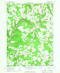
Editions of this 1965 Rexville Map
2 editions found
Other maps of this area

1899 · Gaines
USGS Topo · 1:62,500

1900 · Gaines
USGS Topo · 1:62,500

1926 · Wellsville
USGS Topo · 1:62,500

1926 · Greenwood
USGS Topo · 1:62,500

1932 · Genesee
USGS Topo · 1:62,500

1937 · Genesee
USGS Topo · 1:62,500

1950 · Elmira
USGS Topo · 1:250,000

1954 · Williamsport
USGS Topo · 1:250,000

1954 · South Canisteo
USGS Topo · 1:24,000

1954 · Troupsburg
USGS Topo · 1:24,000