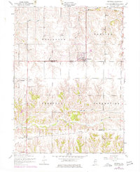
1953 Map of Reynolds
USGS Topo · Published 1977About this map
Reynolds sits at the junction of Rock Island County and Mercer County, serving as a central hub for the surrounding agricultural townships of Edgington, Bowling, Perryton, and Preemption. The landscape is defined by the dendritic drainage patterns of Copperas Creek, Mill Creek, and the North and South forks of Camp Creek. This mid-century survey reveals a tightly knit rural infrastructure where local life revolved around a network of one-room schoolhouses and country parishes.
Find a feature on this map
30 named features on this map. Tap any name to fly to it.
Don’t see what you’re looking for? This feature index may not catch every label — zoom into the map to look around manually.
Map Details
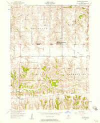
Editions of this 1953 Reynolds Map
2 editions found
Other maps of this area

1912 · Milan
USGS Topo · 1:62,500

1916 · Edgington
USGS Topo · 1:62,500

1923 · Alexis
USGS Topo · 1:62,500

1925 · Alexis
USGS Topo · 1:62,500

1935 · Keithsburg
USGS Topo · 1:48,000

1938 · Edgington
USGS Topo · 1:62,500

1941 · Keithsburg
USGS Topo · 1:62,500

1944 · Milan
USGS Topo · 1:62,500
1948 · Milan
USGS Topo · 1:24,000

1950 · Milan
USGS Topo · 1:24,000