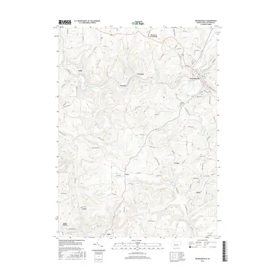
2016 Map of Reynoldsville
USGS Topo · Published 2016About this map
Reynoldsville serves as the primary population center in this Jefferson County landscape, where the valley of Sandy Lick Creek dictates the local geography. The surrounding hillsides are dotted with smaller, distinct settlements including Wishaw, Panic, Desire, and Anita, reflecting a typical Western Pennsylvania pattern of dispersed hamlets often linked to historical extraction or agricultural hubs. Local genealogy is well-supported by the inclusion of Moore Cem in the north and the larger Reynoldsville Cem situated near Lakelawn Memorial Park on the town's southern edge.
Find a feature on this map
92 named features on this map. Tap any name to fly to it.
Don’t see what you’re looking for? This feature index may not catch every label — zoom into the map to look around manually.
Map Details
Editions of this 2016 Reynoldsville Map
This is the sole edition of this map. No revisions or reprints were ever made.
Other maps of this area

1906 · Punxsutawney
USGS Topo · 1:62,500

1909 · Smicksburg
USGS Topo · 1:62,500

1922 · Du Bois
USGS Topo · 1:62,500

1924 · Du Bois
USGS Topo · 1:62,500

1924 · Brookville
USGS Topo · 1:62,500

1926 · Brookville
USGS Topo · 1:62,500

1938 · Smicksburg
USGS Topo · 1:62,500

1939 · Smicksburg
USGS Topo · 1:62,500

1939 · Punxsutawney
USGS Topo · 1:62,500

1942 · Punxsutawney
USGS Topo · 1:62,500
Featured Places
- Reynoldsville, PA
- McCalmont Township, PA
- Murray Summit, Winslow Township
- O'Donnell, Winslow Township
- Winslow Township, PA