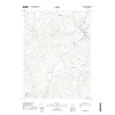
2019 Map of Reynoldsville
USGS Topo · Published 2019About this map
Sandy Lick Creek and its complex network of tributaries, including Pitchpine Run and Fuller Run, define the drainage patterns of this Jefferson County landscape. The borough of Reynoldsville serves as the primary population center, showing a dense street grid that contrasts with the surrounding agricultural and wooded uplands. In the late 2010s, the rural character of the area remains evident through small settlements like Panic, Desire, and Wishaw.
Find a feature on this map
119 named features on this map. Tap any name to fly to it.
Don’t see what you’re looking for? This feature index may not catch every label — zoom into the map to look around manually.
Map Details
Editions of this 2019 Reynoldsville Map
This is the sole edition of this map. No revisions or reprints were ever made.
Other maps of this area

1906 · Punxsutawney
USGS Topo · 1:62,500

1909 · Smicksburg
USGS Topo · 1:62,500

1922 · Du Bois
USGS Topo · 1:62,500

1924 · Du Bois
USGS Topo · 1:62,500

1924 · Brookville
USGS Topo · 1:62,500

1926 · Brookville
USGS Topo · 1:62,500

1938 · Smicksburg
USGS Topo · 1:62,500

1939 · Smicksburg
USGS Topo · 1:62,500

1939 · Punxsutawney
USGS Topo · 1:62,500

1942 · Punxsutawney
USGS Topo · 1:62,500
Featured Places
- Reynoldsville, PA
- McCalmont Township, PA
- Murray Summit, Winslow Township
- O'Donnell, Winslow Township
- Winslow Township, PA