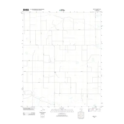
2012 Map of Rhea
USGS Topo · Published 2012About this map
Rhea serves as the central point of reference in this High Plains landscape within Parmer County, Texas. This area is characterized by a precise grid of rural transport, where local roads like Co Road B and Co Rd-3 facilitate travel across the wide agricultural expanses. In the northeastern portion of the quadrangle, the course of Tierra Blanca Cr cuts through the terrain, providing a natural hydrological contrast to the man-made geometry of the surrounding fields. The road network is anchored by state-maintained routes including FM-2013 and Ranch Road 1731, which connect the small settlement of Rhea to the broader Panhandle region. This 2012 survey illustrates the enduring rural structure of the Llano Estacado, highlighting how section-line roads and seasonal watercourses define the modern Texas farming landscape.
Find a feature on this map
16 named features on this map. Tap any name to fly to it.
Don’t see what you’re looking for? This feature index may not catch every label — zoom into the map to look around manually.
Map Details
Editions of this 2012 Rhea Map
This is the sole edition of this map. No revisions or reprints were ever made.
Other maps of this area

1954 · Clovis
USGS Topo · 1:250,000

1957 · Pleasant Hill
USGS Topo · 1:62,500

1958 · Clovis
USGS Topo · 1:250,000

1965 · Bovina
USGS Topo · 1:24,000

1965 · Parmerton
USGS Topo · 1:24,000

1965 · Twin Lakes
USGS Topo · 1:24,000

1965 · Rhea
USGS Topo · 1:24,000

1971 · Bootleg
USGS Topo · 1:24,000

1971 · Garcia Lake
USGS Topo · 1:24,000

1971 · Bellview
USGS Topo · 1:24,000