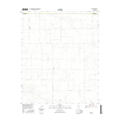
2016 Map of Rhea
USGS Topo · Published 2016About this map
The settlement of Rhea and its surrounding agricultural plains characterize this high-plains landscape at the border of Deaf Smith and Parmer counties. The area is defined by a rigid grid of county roads and ranch-to-market routes, reflecting the intensive land division of the Texas Panhandle. At the heart of the community, the Rhea Lutheran Cem stands as a focal point for local history and genealogy. The terrain is largely flat, interrupted only by the gentle meander of Frio Draw in the southern portion of the quadrangle. This intermittent drainage feature provides a rare break in the geometric precision of the farm plots, where numerous small depressions and catchment basins dot the fields. Major transportation corridors like Ranch Rd 2013 and FM 1731 link the isolated farmsteads to the wider region.
Find a feature on this map
19 named features on this map. Tap any name to fly to it.
Don’t see what you’re looking for? This feature index may not catch every label — zoom into the map to look around manually.
Map Details
Editions of this 2016 Rhea Map
This is the sole edition of this map. No revisions or reprints were ever made.
Other maps of this area

1954 · Clovis
USGS Topo · 1:250,000

1957 · Pleasant Hill
USGS Topo · 1:62,500

1958 · Clovis
USGS Topo · 1:250,000

1965 · Bovina
USGS Topo · 1:24,000

1965 · Parmerton
USGS Topo · 1:24,000

1965 · Twin Lakes
USGS Topo · 1:24,000

1965 · Rhea
USGS Topo · 1:24,000

1971 · Bootleg
USGS Topo · 1:24,000

1971 · Garcia Lake
USGS Topo · 1:24,000

1971 · Bellview
USGS Topo · 1:24,000