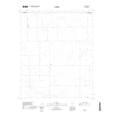
2019 Map of Rhea
USGS Topo · Published 2019About this map
Rhea sits at the heart of this High Plains landscape in Parmer County, where the topography is defined by the broad, subtle course of Frio Draw cutting across the southern portion of the quadrangle. The settlement pattern is anchored by a grid of county roads and key arteries like Ranch Rd 2013 and Fm 2013, reflecting the region's agricultural layout. One of the most significant historical landmarks is the Rhea Lutheran Cem, which serves as a vital touchstone for genealogists and local historians tracing the heritage of the families who settled this portion of the Texas Panhandle near the Deaf Smith Co line. The map illustrates a high-plains environment where water features are seasonal and the human footprint is defined by wide-open ranching and farming tracts.
Find a feature on this map
18 named features on this map. Tap any name to fly to it.
Don’t see what you’re looking for? This feature index may not catch every label — zoom into the map to look around manually.
Map Details
Editions of this 2019 Rhea Map
This is the sole edition of this map. No revisions or reprints were ever made.
Other maps of this area

1954 · Clovis
USGS Topo · 1:250,000

1957 · Pleasant Hill
USGS Topo · 1:62,500

1958 · Clovis
USGS Topo · 1:250,000

1965 · Bovina
USGS Topo · 1:24,000

1965 · Parmerton
USGS Topo · 1:24,000

1965 · Twin Lakes
USGS Topo · 1:24,000

1965 · Rhea
USGS Topo · 1:24,000

1971 · Bootleg
USGS Topo · 1:24,000

1971 · Garcia Lake
USGS Topo · 1:24,000

1971 · Bellview
USGS Topo · 1:24,000