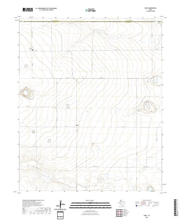
2022 Map of Rhea
USGS Topo · Published 2022About this map
Rhea serves as the focal point of this Panhandle landscape, where the flat plains of the High Plains are defined by the straight lines of rural county roads. Located near the Deaf Smith Co and Parmer Co line, this area is characterized by agricultural patterns and the wide drainages of Tierra Blanca Cr and Frio Draw. The presence of the Rhea Lutheran Cem near the intersection of Ranch Rd 2013 and FM 2013 points to the area's early settlement by Lutheran families, a common cultural thread in this part of West Texas. The map illustrates a modern infrastructure of county roads, such as Co Rd B and Co Rd 6, which have replaced the early wagon trails but follow the same cardinal orientations across the open landscape.
Find a feature on this map
21 named features on this map. Tap any name to fly to it.
Don’t see what you’re looking for? This feature index may not catch every label — zoom into the map to look around manually.
Map Details
Editions of this 2022 Rhea Map
This is the sole edition of this map. No revisions or reprints were ever made.
Other maps of this area

1954 · Clovis
USGS Topo · 1:250,000

1957 · Pleasant Hill
USGS Topo · 1:62,500

1958 · Clovis
USGS Topo · 1:250,000

1965 · Bovina
USGS Topo · 1:24,000

1965 · Parmerton
USGS Topo · 1:24,000

1965 · Twin Lakes
USGS Topo · 1:24,000

1965 · Rhea
USGS Topo · 1:24,000

1971 · Bootleg
USGS Topo · 1:24,000

1971 · Garcia Lake
USGS Topo · 1:24,000

1971 · Bellview
USGS Topo · 1:24,000