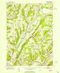
1953 Map of Rheims
USGS Topo · Published 1970About this map
Prattsburgh Railway lines cut through the high-elevation terrain of central Steuben County, following the natural corridors carved by Fivemile Creek and Waldo Creek. This early 1950s landscape is defined by its deep hollows and prominent rises, including Wheeler Hill and Hickory Hill, where the Wheeler Hill Ch stands as a focal point for the surrounding rural community. The settlement pattern is concentrated in small clusters such as Wheeler, Marshalls, and Dineharts, many of which developed along the valley floors near rail and water access.
Find a feature on this map
40 named features on this map. Tap any name to fly to it.
Don’t see what you’re looking for? This feature index may not catch every label — zoom into the map to look around manually.
Map Details
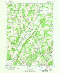
Editions of this 1953 Rheims Map
2 editions found
Other maps of this area

1900 · Naples
USGS Topo · 1:62,500

1903 · Naples
USGS Topo · 1:62,500

1903 · Penn Yan
USGS Topo · 1:62,500

1903 · Hammondsport
USGS Topo · 1:62,500

1910 · Bath
USGS Topo · 1:62,500

1913 · Naples
USGS Topo · 1:62,500

1942 · Naples
USGS Topo · 1:31,680

1942 · Prattsburg
USGS Topo · 1:31,680

1942 · Pulteney
USGS Topo · 1:31,680

1950 · Elmira
USGS Topo · 1:250,000