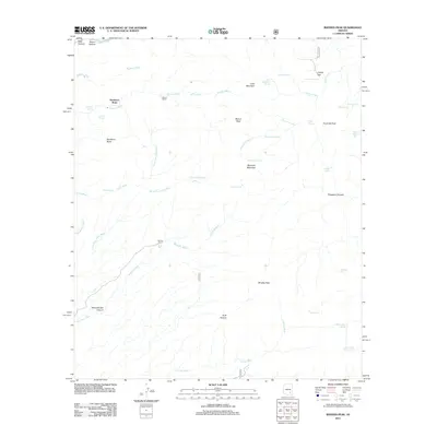
2011 Map of Rhodes Peak
USGS Topo · Published 2011About this map
Sombrero Butte and the surrounding high desert of Pinal County are defined by a complex network of seasonal drainages and vital water sources. This 2011 survey illustrates a landscape where ranching life and rugged topography intersect, anchored by Mercer Ranch in the north and the namesake Rhodes Peak to the south. The area is a labyrinth of named canyons, including the intriguing Saloon Canyon and Schoenholzer Canyon, which cut through a series of prominent summits like Maverick Mountain and Cake Mountain.
Find a feature on this map
43 named features on this map. Tap any name to fly to it.
Don’t see what you’re looking for? This feature index may not catch every label — zoom into the map to look around manually.
Map Details
Editions of this 2011 Rhodes Peak Map
This is the sole edition of this map. No revisions or reprints were ever made.
Other maps of this area

1911 · Winkelman
USGS Topo · 1:125,000

1913 · Winkelman
USGS Topo · 1:125,000

1938 · Galiuro Mts
USGS Topo · 1:48,000

1938 · Klondyke
USGS Topo · 1:48,000

1943 · Galiuro Mts
USGS Topo · 1:62,500

1943 · Klondyke
USGS Topo · 1:62,500

1948 · Clark Ranch
USGS Topo · 1:24,000

1948 · Mammoth
USGS Topo · 1:62,500

1948 · Peppersauce Wash
USGS Topo · 1:24,000

1949 · Clark Ranch
USGS Topo · 1:24,000