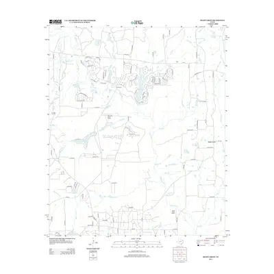
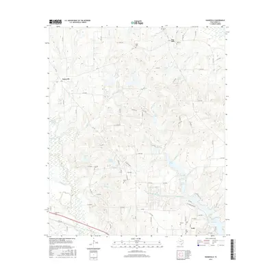
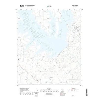
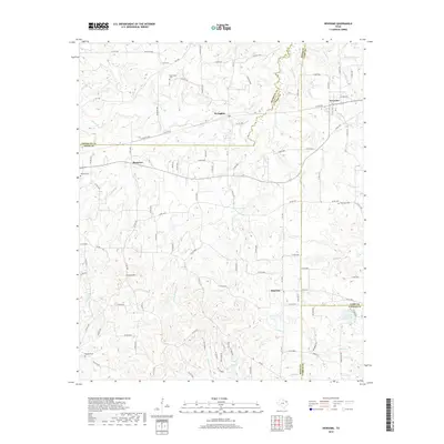
2022 Map of Rhonesboro
USGS Topo · Published 2022About this map
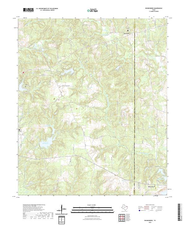
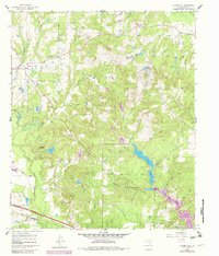
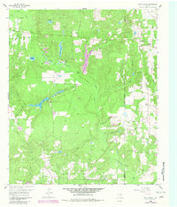
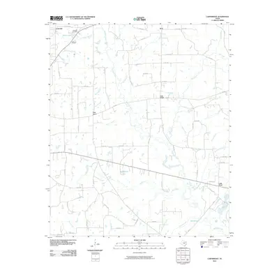
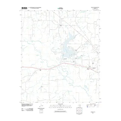
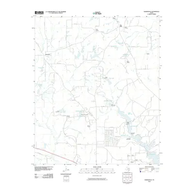
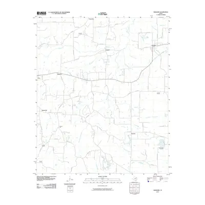
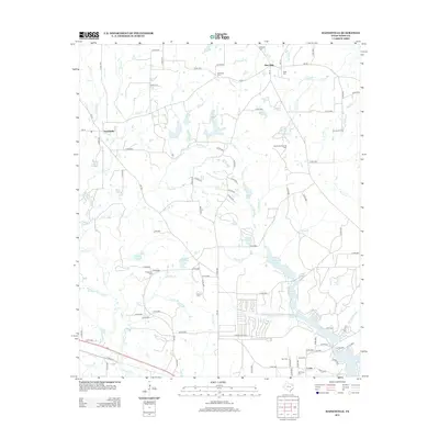
Perryville and Rhonesboro anchor this landscape along the Wood and Upshur county line, where East Texas timber and water define the terrain. The map detail highlights a network of small family landmarks and rural resting places, including the Smith Family Cem and Little Hope Cem, which offer significant value for genealogical research in this corridor. The local hydrology is characterized by numerous small tributaries like Little Cypress Cr and Holly Cr, feeding into larger impoundments such as Gunstream Lake Number 1 and Johnson Lake. This 2022 survey captures the modern road network, including FM 2869, while preserving the names of natural features like Holly Springs and Dinner Spring that have likely served as local landmarks for generations.
Find a feature on this map
85 named features on this map. Tap any name to fly to it.
Don’t see what you’re looking for? This feature index may not catch every label — zoom into the map to look around manually.
Map Details
Editions of this 2022 Rhonesboro Map
This is the sole edition of this map. No revisions or reprints were ever made.
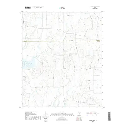
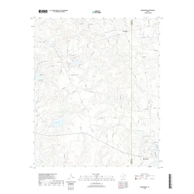
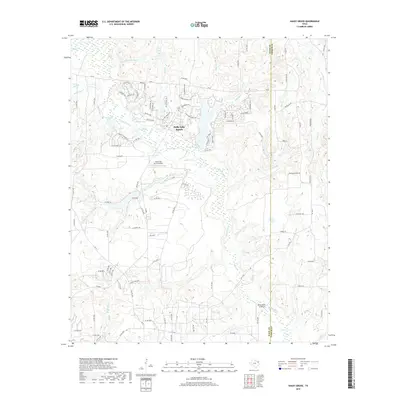
Historical Maps of Ogburn Through Time
48 maps found
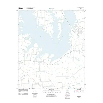
1959 Calvary
Wood County, TX
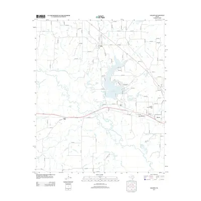
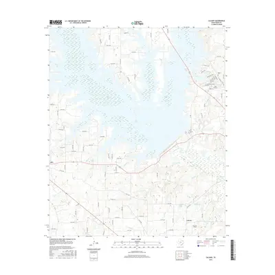
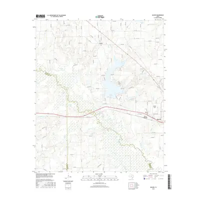
1959 Golden
Wood County, TX
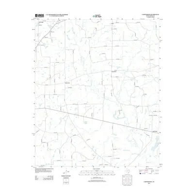
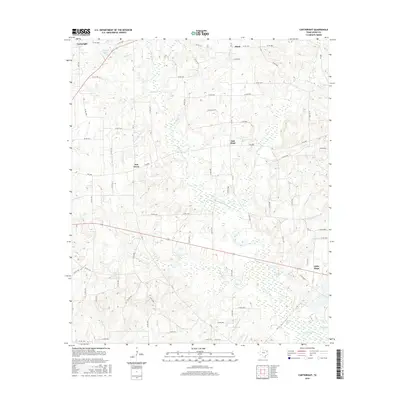
1960 Cartwright
Wood County, TX
1960 Hainesville
Wood County, TX
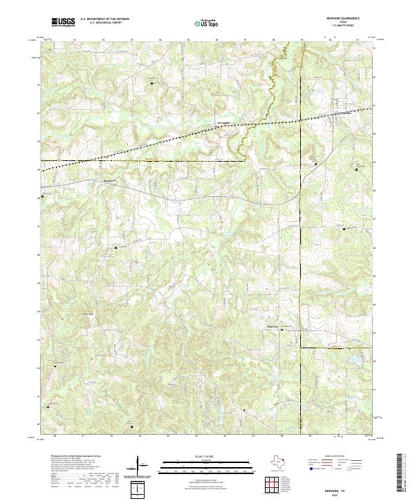
1960 Newsome
Wood County, TX
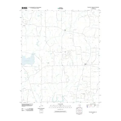
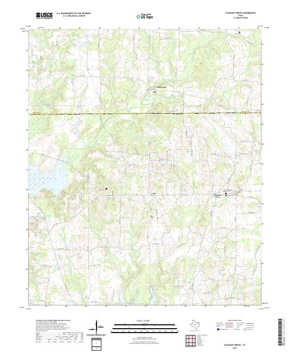
1960 Pleasant Grove
Wood County, TX
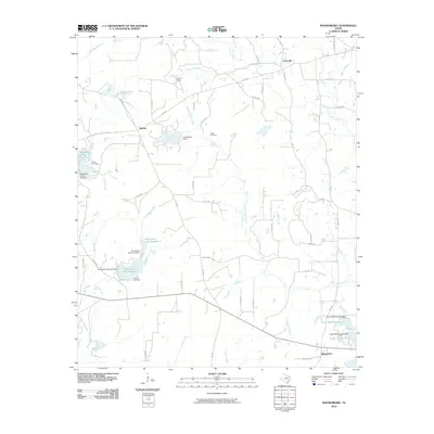
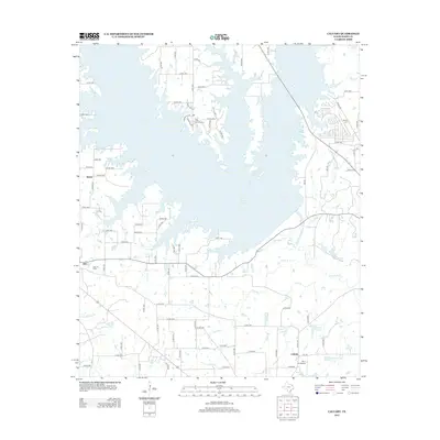
1960 Rhonesboro
Wood County, TX
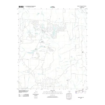
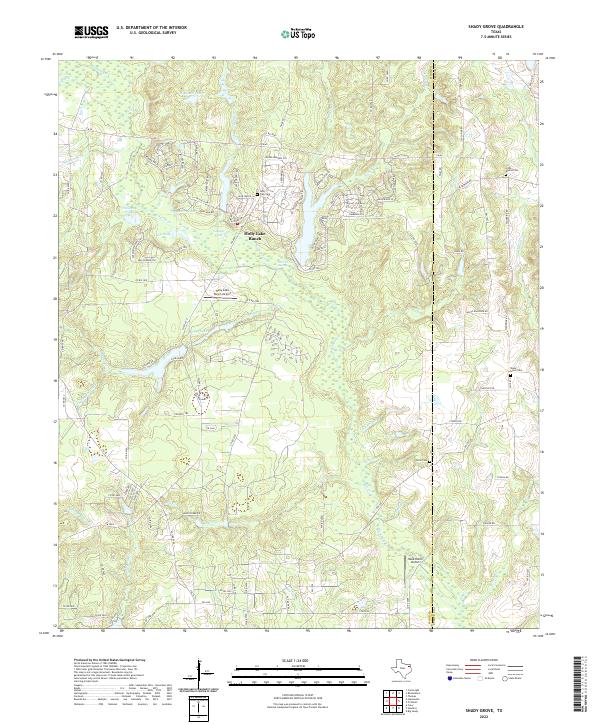
1960 Shady Grove
Wood County, TX
2010 Cartwright
Wood County, TX
2010 Golden
Wood County, TX
2010 Hainesville
Wood County, TX
2010 Newsome
Wood County, TX
2010 Pleasant Grove
Wood County, TX
2010 Rhonesboro
Wood County, TX
2010 Shady Grove
Wood County, TX
2011 Calvary
Wood County, TX
2012 Calvary
Wood County, TX
2012 Cartwright
Wood County, TX
2012 Golden
Wood County, TX
2012 Hainesville
Wood County, TX
2012 Newsome
Wood County, TX
2012 Pleasant Grove
Wood County, TX
2012 Rhonesboro
Wood County, TX
2012 Shady Grove
Wood County, TX
2016 Calvary
Wood County, TX
2016 Cartwright
Wood County, TX
2016 Golden
Wood County, TX
2016 Hainesville
Wood County, TX
2016 Newsome
Wood County, TX
2016 Pleasant Grove
Wood County, TX

2016 Rhonesboro
Wood County, TX
2016 Shady Grove
Wood County, TX
2019 Calvary
Wood County, TX
2019 Cartwright
Wood County, TX
2019 Golden
Wood County, TX
2019 Hainesville
Wood County, TX
2019 Newsome
Wood County, TX
2019 Pleasant Grove
Wood County, TX
2019 Rhonesboro
Wood County, TX
2019 Shady Grove
Wood County, TX
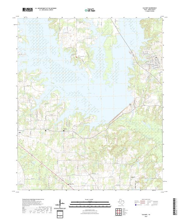
2022 Calvary
Wood County, TX
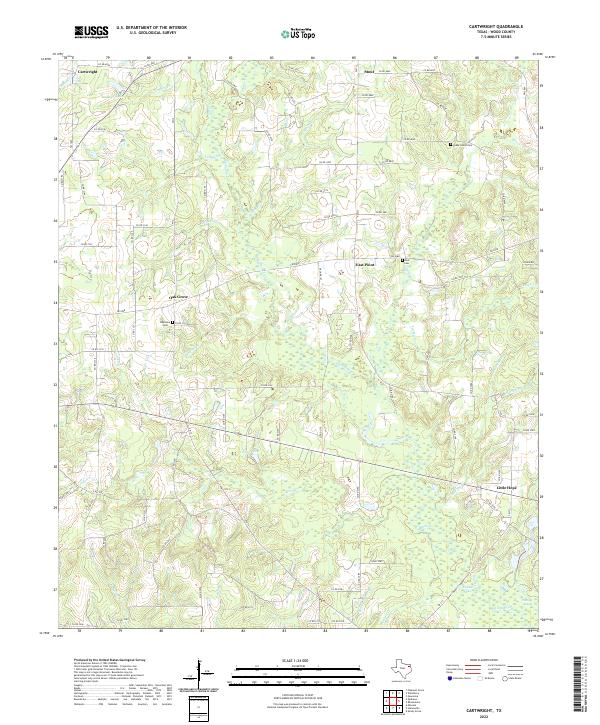
2022 Cartwright
Wood County, TX
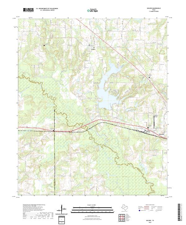
2022 Golden
Wood County, TX
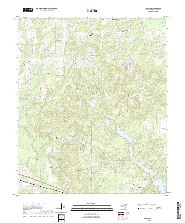
2022 Hainesville
Wood County, TX
2022 Newsome
Wood County, TX
2022 Pleasant Grove
Wood County, TX
2022 Rhonesboro
Wood County, TX
2022 Shady Grove
Wood County, TX