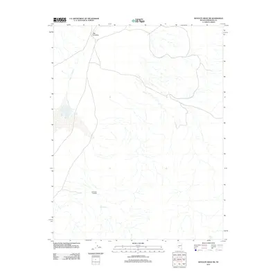
2011 Map of Rhyolite Ridge SW
USGS Topo · Published 2011About this map
The Crossing serves as a central point of reference in this arid reach of Esmeralda County, where desert tracks converge near the northern edge of the survey. The landscape is defined by its drainage patterns and seasonal water sources, characterized by the rugged descent of Icehouse Canyon toward the valley floor. Sparse but vital hydrological features such as Deep Spring and Mud Spring anchor the remote terrain, marking the few named locations in an otherwise unpopulated expanse of the Nevada desert. This 2011 survey by the U.S. Geological Survey utilizes satellite imagery to document the persistent trails and natural landmarks that have guided travelers through these high-elevation basins for generations.
Find a feature on this map
4 named features on this map. Tap any name to fly to it.
Don’t see what you’re looking for? This feature index may not catch every label — zoom into the map to look around manually.
Map Details
Editions of this 2011 Rhyolite Ridge SW Map
This is the sole edition of this map. No revisions or reprints were ever made.
Other maps of this area

1898 · Silver Peak
USGS Topo · 1:125,000

1900 · Silver Peak
USGS Topo · 1:125,000

1908 · Lida
USGS Topo · 1:250,000

1913 · Lida
USGS Topo · 1:250,000

1917 · White Mountain
USGS Topo · 1:125,000

1947 · Mariposa
USGS Topo · 1:250,000

1948 · Mariposa
USGS Topo · 1:250,000

1954 · Goldfield
USGS Topo · 1:250,000

1955 · Goldfield
USGS Topo · 1:250,000

1957 · Mariposa
USGS Topo · 1:250,000