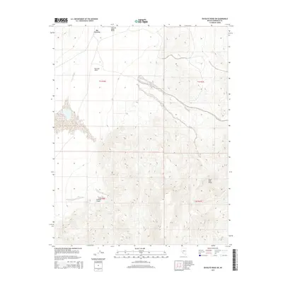
2015 Map of Rhyolite Ridge SW
USGS Topo · Published 2015About this map
Fish Lake Valley dominates this high-desert basin in Esmeralda County, where the transition from alluvial flats to the steep topography of the Silver Peak Range is clearly defined. The northern portion of the map identifies a specific locale known as The Crossing, situated near the hydrologically significant Fish Lake Valley Marsh. This area represents a classic Great Basin environment where water is the primary driver of geography and human movement. Features like Deep Spring and Mud Spring are critical landmarks in this arid terrain, while Icehouse Canyon cuts into the southern mountains, suggesting the seasonal drainage patterns that have shaped the land. The map illustrates a landscape of high-elevation solitude, structured by the rectangular grid of townships and ranges that overlay the natural drainage systems of the valley.
Find a feature on this map
11 named features on this map. Tap any name to fly to it.
Don’t see what you’re looking for? This feature index may not catch every label — zoom into the map to look around manually.
Map Details
Editions of this 2015 Rhyolite Ridge SW Map
This is the sole edition of this map. No revisions or reprints were ever made.
Other maps of this area

1898 · Silver Peak
USGS Topo · 1:125,000

1900 · Silver Peak
USGS Topo · 1:125,000

1908 · Lida
USGS Topo · 1:250,000

1913 · Lida
USGS Topo · 1:250,000

1917 · White Mountain
USGS Topo · 1:125,000

1947 · Mariposa
USGS Topo · 1:250,000

1948 · Mariposa
USGS Topo · 1:250,000

1954 · Goldfield
USGS Topo · 1:250,000

1955 · Goldfield
USGS Topo · 1:250,000

1957 · Mariposa
USGS Topo · 1:250,000