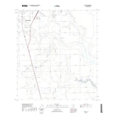
2019 Map of Ricardo
USGS Topo · Published 2019About this map
Kingsville and the neighboring settlement of Ricardo dominate this South Texas landscape, defined by a complex network of seasonal drainages and local infrastructure. The transition from the urban grid of southern Kingsville into the rural reaches of Kleberg County is marked by the presence of Kingsville Naval Air Station to the northeast and the recreational waters of Dick Kleberg Park Lake. The terrain is etched by the meandering paths of Santa Gertrudis Creek and San Fernando Creek, which wind through a mosaic of farm roads and cattle country. This modern survey captures the enduring layout of the region's agricultural and military geography, including smaller place names like Rosendahl and the headwaters of Jaboncillos Cr and Ebanito Cr further south, providing a clear view of how development has followed the natural contours of the coastal plain.
Find a feature on this map
88 named features on this map. Tap any name to fly to it.
Don’t see what you’re looking for? This feature index may not catch every label — zoom into the map to look around manually.
Map Details
Editions of this 2019 Ricardo Map
This is the sole edition of this map. No revisions or reprints were ever made.
Other maps of this area

1924 · Petronilla
USGS Topo · 1:62,500

1928 · Sarita
USGS Topo · 1:125,000

1950 · Corpus Christi
USGS Topo · 1:250,000

1952 · Riviera Beach
USGS Topo · 1:24,000

1952 · Riviera Beach NW
USGS Topo · 1:24,000

1952 · Riviera Beach
USGS Topo · 1:62,500

1954 · Kingsville
USGS Topo · 1:62,500

1954 · Petronila
USGS Topo · 1:62,500

1954 · Riviera
USGS Topo · 1:62,500

1956 · Corpus Christi
USGS Topo · 1:250,000