
1952 Map of Riviera Beach
USGS Topo · Published 1953About this map
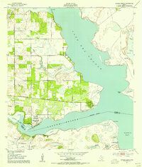
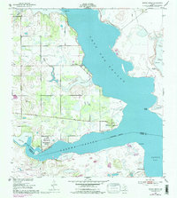
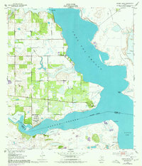
The coastal interface of Cayo Del Grullo and Baffin Bay dominates this mid-century survey of the South Texas shoreline. Along the western edge of the inlet, the map records the early development of Loyola Beach and Riviera Beach, providing a detailed look at these coastal communities before late-century expansion. The landscape is a complex mix of marshes, inlets, and arid terrain, characterized by numerous water sources such as Visnaga Well and the Las Puertas Artesian Well.
Find a feature on this map
26 named features on this map. Tap any name to fly to it.
Don’t see what you’re looking for? This feature index may not catch every label — zoom into the map to look around manually.
Map Details
Editions of this 1952 Riviera Beach Map
4 editions found
Other maps of this area

1928 · Sarita
USGS Topo · 1:125,000

1950 · Corpus Christi
USGS Topo · 1:250,000

1951 · Kleberg Point
USGS Topo · 1:24,000

1951 · Riviera Beach NE
USGS Topo · 1:24,000

1951 · Sarita 4 NE
USGS Topo · 1:24,000

1952 · La Parra Ranch
USGS Topo · 1:24,000

1952 · Riviera Beach NW
USGS Topo · 1:24,000

1952 · Riviera Beach
USGS Topo · 1:62,500

1954 · Sarita
USGS Topo · 1:62,500

1954 · Riviera
USGS Topo · 1:62,500