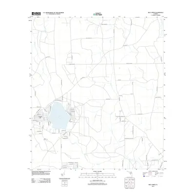
2012 Map of Rice Creek
USGS Topo · Published 2012About this map
Georges Lake anchors this landscape, surrounded by a dense network of residential streets such as Alachua Ave and Hernando Dr. The settlement of Harlem sits to the east, positioned near the meandering course of Rice Cr. This area reflects a transition from organized lakeside development to more utilitarian rural corridors, where timber and land management are hinted at by names like Sand Pine Rd and Long Branch Rd.
Find a feature on this map
80 named features on this map. Tap any name to fly to it.
Don’t see what you’re looking for? This feature index may not catch every label — zoom into the map to look around manually.
Map Details
Editions of this 2012 Rice Creek Map
This is the sole edition of this map. No revisions or reprints were ever made.
Other maps of this area

1912 · Palatka
USGS Topo · 1:48,000

1915 · Palatka
USGS Topo · 1:62,500

1915 · Interlachen
USGS Topo · 1:48,000

1916 · Interlachen
USGS Topo · 1:62,500

1942 · Ates Creek
USGS Topo · 1:62,500

1944 · Interlachen
USGS Topo · 1:62,500

1947 · Bostwick
USGS Topo · 1:50,000

1949 · Rice Creek
USGS Topo · 1:24,000

1949 · Bostwick
USGS Topo · 1:24,000

1949 · Green Cove Springs
USGS Topo · 1:24,000