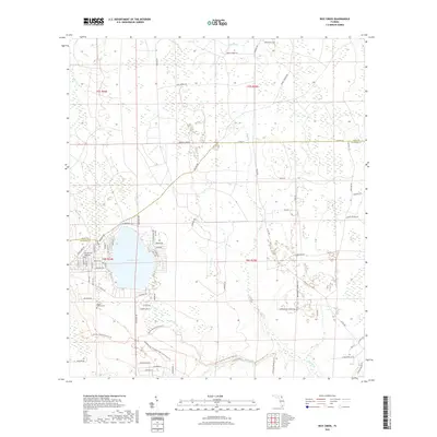
2021 Map of Rice Creek
USGS Topo · Published 2021About this map
Georges Lake defines the central landscape of this North Florida survey, where the boundary between Clay Co and Putnam Co runs just north of the water's edge. Residential development is concentrated along the western and southern shores, connected by a network of local roads including Hillsborough Ave and Rainbow Dr. The map illustrates a transitional landscape of pine flatwoods and cypress wetlands, with Rice Creek and Greens Creek draining the low-lying terrain. To the south, the Etoniah Creek State Forest Trl preserves a significant corridor of natural habitat, while the presence of Mount Heburn Cem and family-named thoroughfares like Sweet Moody Rd and Light Boy Rd provides a detailed look at the rural character and local heritage of this region near the headwaters of the Etonia Creek system.
Find a feature on this map
81 named features on this map. Tap any name to fly to it.
Don’t see what you’re looking for? This feature index may not catch every label — zoom into the map to look around manually.
Map Details
Editions of this 2021 Rice Creek Map
This is the sole edition of this map. No revisions or reprints were ever made.
Other maps of this area

1912 · Palatka
USGS Topo · 1:48,000

1915 · Palatka
USGS Topo · 1:62,500

1915 · Interlachen
USGS Topo · 1:48,000

1916 · Interlachen
USGS Topo · 1:62,500

1942 · Ates Creek
USGS Topo · 1:62,500

1944 · Interlachen
USGS Topo · 1:62,500

1947 · Bostwick
USGS Topo · 1:50,000

1949 · Rice Creek
USGS Topo · 1:24,000

1949 · Bostwick
USGS Topo · 1:24,000

1949 · Green Cove Springs
USGS Topo · 1:24,000