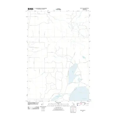
2011 Map of Rice Lake
USGS Topo · Published 2011About this map
Rice Lake and the northern shore of Little Traverse Bay dominate this coastal section of the Keweenaw Peninsula. The landscape is defined by its complex hydrology, where the Traverse River, Silver Creek, and Giles Creek drain toward Lake Superior. Significant wetland features like Mud Lake and Little Rice Lake illustrate the low-lying terrain near the coast, while the road network provides evidence of local land use, including the Beagle Club Rd and various routes serving the area around Gay Rd. The presence of the Mud Lake Cross Cut suggests managed water flow between the interior basins and the bay, reflecting the importance of water management in this maritime environment.
Find a feature on this map
34 named features on this map. Tap any name to fly to it.
Don’t see what you’re looking for? This feature index may not catch every label — zoom into the map to look around manually.
Map Details
Editions of this 2011 Rice Lake Map
This is the sole edition of this map. No revisions or reprints were ever made.
Other maps of this area

1938 · Bruneau Creek
USGS Topo · 1:31,680

1938 · Gay
USGS Topo · 1:31,680

1941 · Ahmeek
USGS Topo · 1:31,680

1941 · Mohawk
USGS Topo · 1:31,680

1946 · Bruneau Creek
USGS Topo · 1:24,000

1946 · Mohawk
USGS Topo · 1:24,000

1946 · Ahmeek
USGS Topo · 1:24,000

1946 · Laurium
USGS Topo · 1:24,000

1947 · Ahmeek
USGS Topo · 1:24,000

1948 · Laurium
USGS Topo · 1:24,000