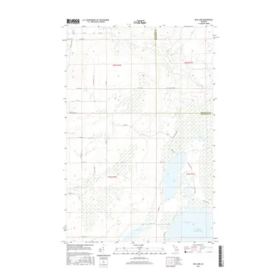
2017 Map of Rice Lake
USGS Topo · Published 2017About this map
Rice Lake and the coastal waters of Lake Superior dominate this landscape along the border of Houghton and Keweenaw Counties. The interior is defined by a dense network of streams including the Traverse River, Silver Cr, and McCallum Cr that drain through low-lying wetlands toward the Little Traverse Bay. Small, tucked-away water bodies like Deer Lake, Little Rice Lake, and Mud Lake are scattered through the wooded sections, often accessed only by local routes like Princess Ridge Rd or Camp 4 Rd. The map illustrates a rural, water-rich region where the road network, such as Gay-Lake Linden Rd and Traprock Valley Rd, follows the contours of the drainage basins and the shoreline of the Great Lakes.
Find a feature on this map
43 named features on this map. Tap any name to fly to it.
Don’t see what you’re looking for? This feature index may not catch every label — zoom into the map to look around manually.
Map Details
Editions of this 2017 Rice Lake Map
This is the sole edition of this map. No revisions or reprints were ever made.
Other maps of this area

1938 · Bruneau Creek
USGS Topo · 1:31,680

1938 · Gay
USGS Topo · 1:31,680

1941 · Ahmeek
USGS Topo · 1:31,680

1941 · Mohawk
USGS Topo · 1:31,680

1946 · Bruneau Creek
USGS Topo · 1:24,000

1946 · Mohawk
USGS Topo · 1:24,000

1946 · Ahmeek
USGS Topo · 1:24,000

1946 · Laurium
USGS Topo · 1:24,000

1947 · Ahmeek
USGS Topo · 1:24,000

1948 · Laurium
USGS Topo · 1:24,000