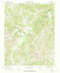
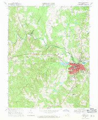
1968 Map of Rice
USGS Topo · Published 1971About this map
The Appomattox River winds across the landscape, forming the boundary between Cumberland and Prince Edward counties. This interior Piedmont region is defined by a dense network of watercourses and the infrastructure of the Norfolk and Western railroad, which cuts through the southern half of the quadrangle. The railroad corridor supports the settlement of Rice, serving as a central hub for the surrounding rural communities. Along the tracks, the iconic High Bridge spans the river valley, marking a significant engineering landmark in the local transportation network.
Find a feature on this map
31 named features on this map. Tap any name to fly to it.
Don’t see what you’re looking for? This feature index may not catch every label — zoom into the map to look around manually.
Map Details
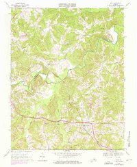
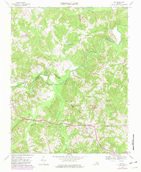
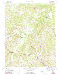
Editions of this 1968 Rice Map
4 editions found
Other maps of this area

1891 · Farmville
USGS Topo · 1:125,000

1893 · Farmville
USGS Topo · 1:125,000

1947 · Roanoke
USGS Topo · 1:250,000

1958 · Farmville
USGS Topo · 1:62,500

1958 · Jetersville
USGS Topo · 1:62,500

1958 · Crewe
USGS Topo · 1:62,500

1958 · Keysville
USGS Topo · 1:62,500

1959 · Roanoke
USGS Topo · 1:250,000

1963 · Roanoke
USGS Topo · 1:250,000
1968 · Farmville
USGS Topo · 1:24,000