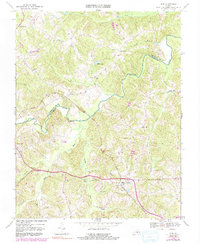
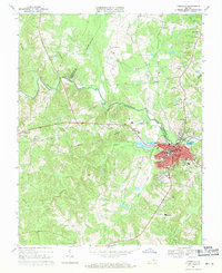
1968 Map of Rice
USGS Topo · Published 1991About this map
The Appomattox River carves a winding course through the Virginia countryside, serving as the natural boundary between Cumberland and Prince Edward Counties. This landscape is defined by its rural transit corridors and early settlements, most notably the Norfolk and Western railroad line which crosses the river at the historic High Bridge. The map details a network of family-centered landmarks and community hubs, including the village of Rice and several country churches like Old Green Creek Ch and Pisgah Ch.
Find a feature on this map
35 named features on this map. Tap any name to fly to it.
Don’t see what you’re looking for? This feature index may not catch every label — zoom into the map to look around manually.
Map Details
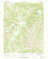
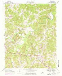
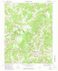
Editions of this 1968 Rice Map
4 editions found
Other maps of this area

1891 · Farmville
USGS Topo · 1:125,000

1893 · Farmville
USGS Topo · 1:125,000

1947 · Roanoke
USGS Topo · 1:250,000

1958 · Farmville
USGS Topo · 1:62,500

1958 · Jetersville
USGS Topo · 1:62,500

1958 · Crewe
USGS Topo · 1:62,500

1958 · Keysville
USGS Topo · 1:62,500

1959 · Roanoke
USGS Topo · 1:250,000

1963 · Roanoke
USGS Topo · 1:250,000
1968 · Farmville
USGS Topo · 1:24,000