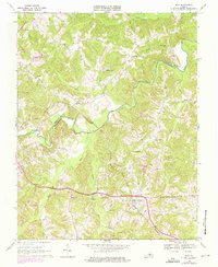
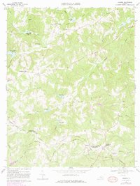
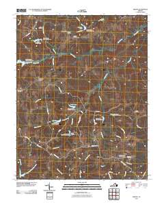
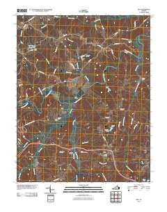
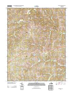
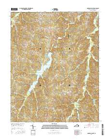
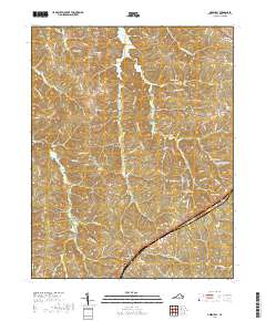
1968 Map of Rice
USGS Topo · Published 1975About this map
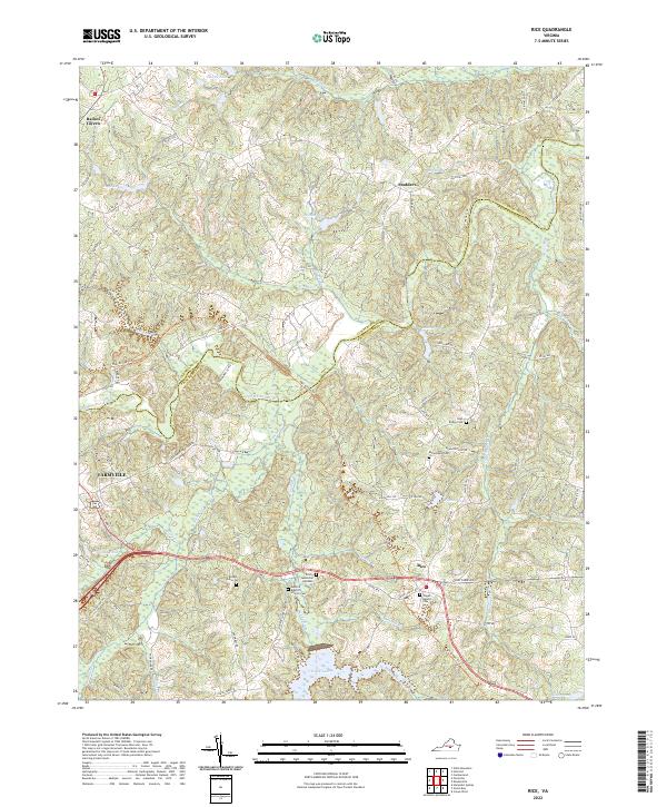
The Norfolk and Western railroad corridor anchors this Virginia landscape, crossing the Appomattox River at the distinctive High Bridge landmark. In the late 1960s, the rural community of Rice served as a local hub along the rail line, surrounded by a network of established country churches and family cemeteries. The terrain is defined by the winding Appomattox and its many tributaries, including Sandy River, Saylers Creek, and Briery Creek.
Find a feature on this map
32 named features on this map. Tap any name to fly to it.
Don’t see what you’re looking for? This feature index may not catch every label — zoom into the map to look around manually.
Map Details
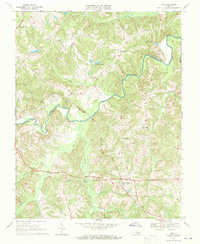
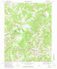
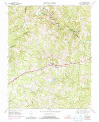
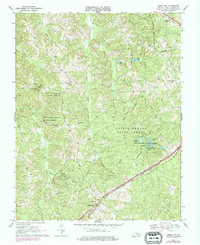
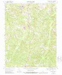
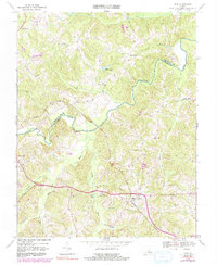
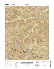
Editions of this 1968 Rice Map
4 editions found
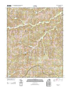
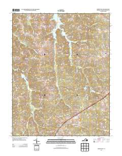
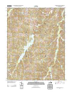
Historical Maps of Farmville Through Time
30 maps found
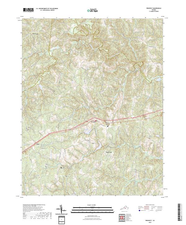
1967 Prospect
Prince Edward County, VA
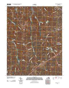
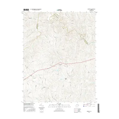
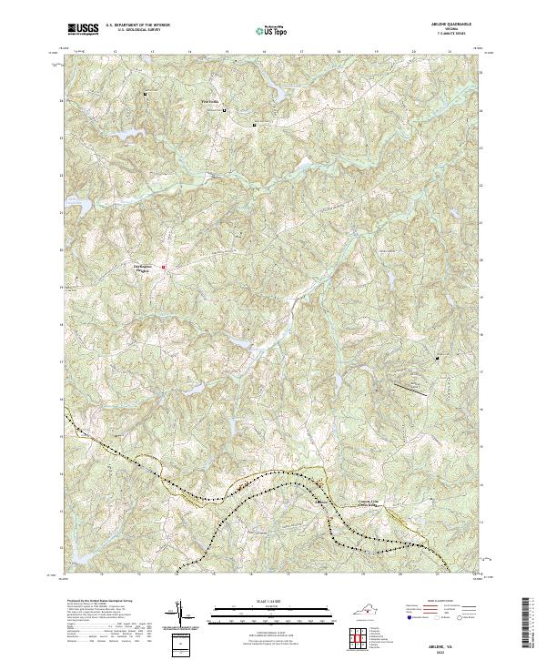
1968 Abilene
Prince Edward County, VA
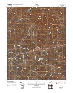
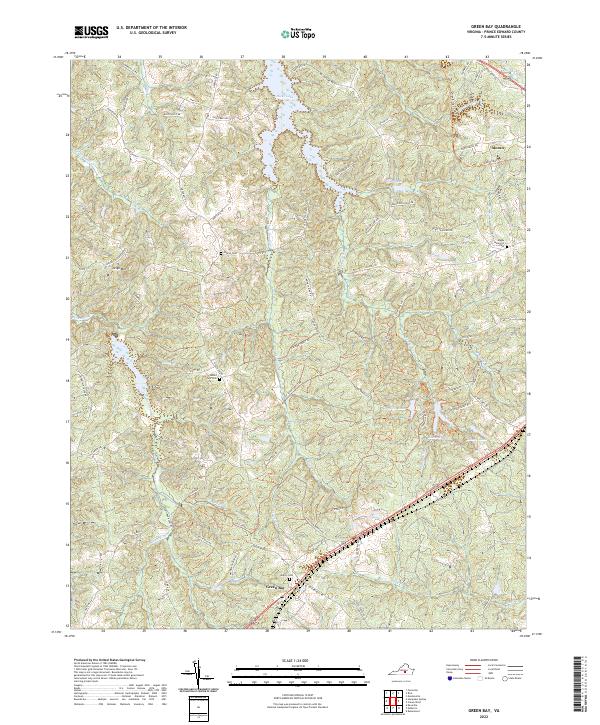
1968 Green Bay
Prince Edward County, VA
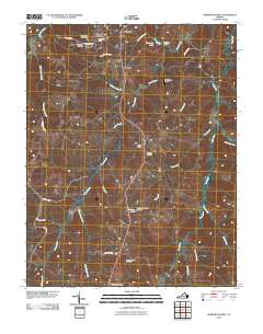
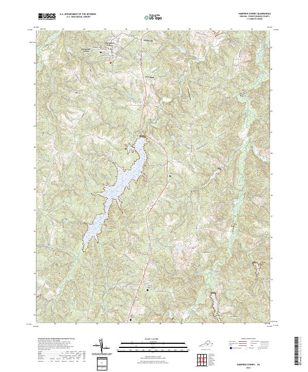
1968 Hampden Sydney
Prince Edward County, VA
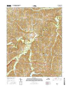
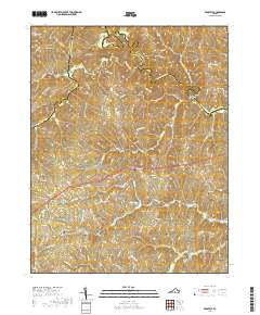
1968 Rice
Prince Edward County, VA
2010 Abilene
Prince Edward County, VA
2010 Green Bay
Prince Edward County, VA
2010 Hampden Sydney
Prince Edward County, VA
2010 Prospect
Prince Edward County, VA
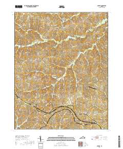
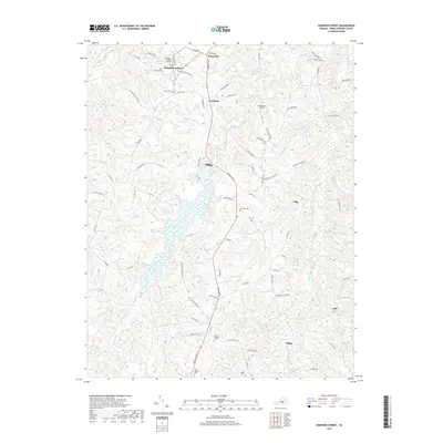
2010 Rice
Prince Edward County, VA
2013 Abilene
Prince Edward County, VA
2013 Green Bay
Prince Edward County, VA
2013 Hampden Sydney
Prince Edward County, VA
2013 Prospect
Prince Edward County, VA
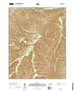
2013 Rice
Prince Edward County, VA
2016 Abilene
Prince Edward County, VA
2016 Green Bay
Prince Edward County, VA
2016 Hampden Sydney
Prince Edward County, VA
2016 Prospect
Prince Edward County, VA
2016 Rice
Prince Edward County, VA
2019 Abilene
Prince Edward County, VA
2019 Green Bay
Prince Edward County, VA
2019 Hampden Sydney
Prince Edward County, VA
2019 Prospect
Prince Edward County, VA
2019 Rice
Prince Edward County, VA
2022 Abilene
Prince Edward County, VA
2022 Green Bay
Prince Edward County, VA
2022 Hampden Sydney
Prince Edward County, VA
2022 Prospect
Prince Edward County, VA
2022 Rice
Prince Edward County, VA