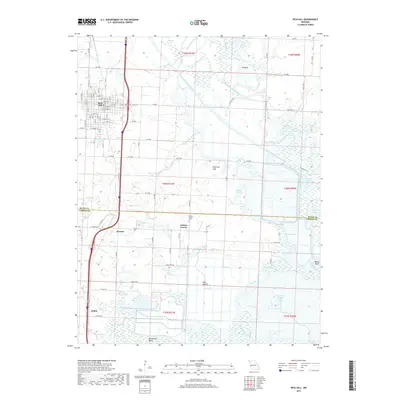
2017 Map of Rich Hill
USGS Topo · Published 2017About this map
Rich Hill and its surrounding agricultural landscape dominate this study of the borderlands between Bates and Vernon counties. The terrain is defined by the significant confluence and movement of waterways, including the winding Marais des Cygnes River, the Little Osage River, and the Bates County Drainage Ditch. These river systems created a complex environment of bends and slashes, such as He Bend and Baker Bend, which historically influenced local land use and transportation.
Find a feature on this map
129 named features on this map. Tap any name to fly to it.
Don’t see what you’re looking for? This feature index may not catch every label — zoom into the map to look around manually.
Map Details
Editions of this 2017 Rich Hill Map
This is the sole edition of this map. No revisions or reprints were ever made.
Other maps of this area

1886 · Nevada
USGS Topo · 1:125,000

1887 · Butler
USGS Topo · 1:125,000

1894 · Butler
USGS Topo · 1:125,000

1894 · Nevada
USGS Topo · 1:125,000

1934 · Papinsville
USGS Topo · 1:24,000

1936 · Rich Hill
USGS Topo · 1:24,000

1937 · New Home
USGS Topo · 1:24,000

1938 · Metz
USGS Topo · 1:24,000

1938 · Horton
USGS Topo · 1:24,000

1939 · Metz
USGS Topo · 1:24,000