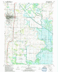
1991 Map of Rich Hill
USGS Topo · Published 1991About this map
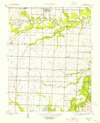
Rich Hill stands as the primary hub of this landscape, situated at the intersection of a complex drainage network where the Marais des Cygnes River and Osage River converge. The terrain is defined by low-lying bottomlands and floodplains, evidenced by the numerous levees protecting agricultural land and the presence of the Four Rivers State Wildlife Area. To the north, the Ripgut Prairie Natural Area preserves a pocket of native landscape. Traces of industrial history appear in the Old RR Grade south of town, while the small communities of Panama, Carbon Center, and Arthur dot the southern reaches near the Bates Co Vernon Co line. Significant local landmarks include the Harmony Sch and the Church of God, reflecting the established rural social structure that persisted into the late twentieth century.
Find a feature on this map
36 named features on this map. Tap any name to fly to it.
Don’t see what you’re looking for? This feature index may not catch every label — zoom into the map to look around manually.
Map Details
Editions of this 1991 Rich Hill Map
This is the sole edition of this map. No revisions or reprints were ever made.
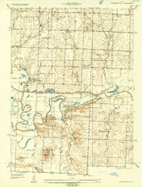
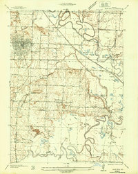
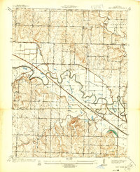
Other maps of this area

1886 · Nevada
USGS Topo · 1:125,000

1887 · Butler
USGS Topo · 1:125,000

1894 · Butler
USGS Topo · 1:125,000

1894 · Nevada
USGS Topo · 1:125,000
1934 · Papinsville
USGS Topo · 1:24,000
1936 · Rich Hill
USGS Topo · 1:24,000
1937 · New Home
USGS Topo · 1:24,000
1938 · Metz
USGS Topo · 1:24,000
1938 · Horton
USGS Topo · 1:24,000
1939 · Metz
USGS Topo · 1:24,000